Ines Kirsch
Beschrijving
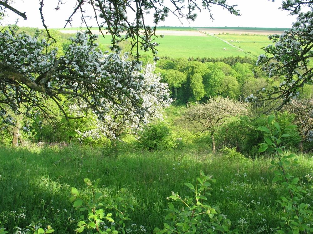
Itinerary Dr. Pierre Moes
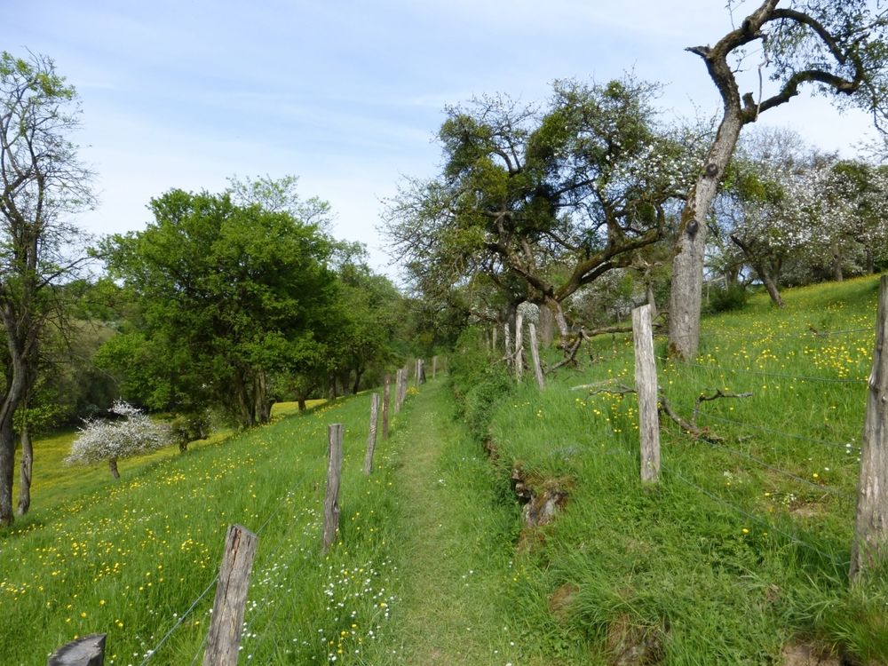
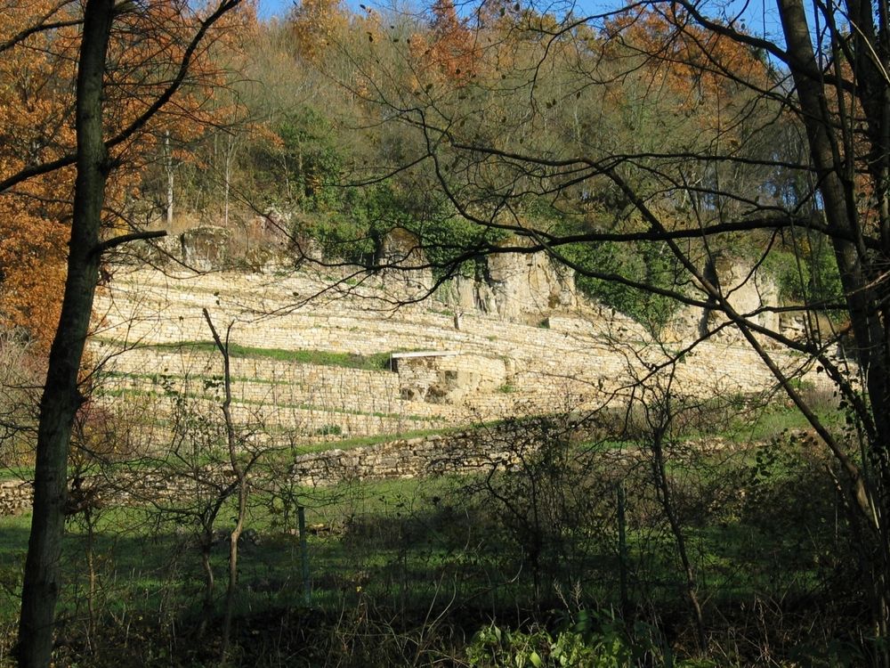
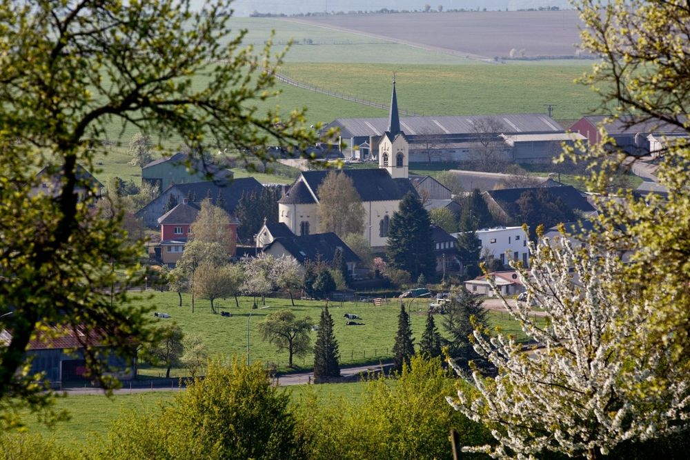
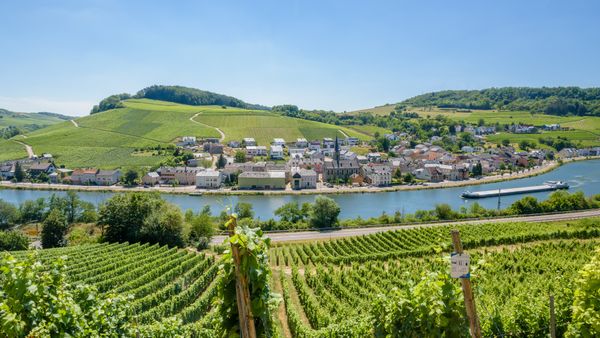
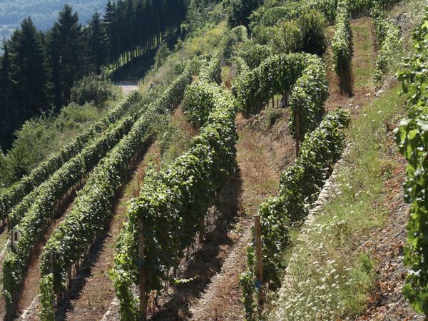
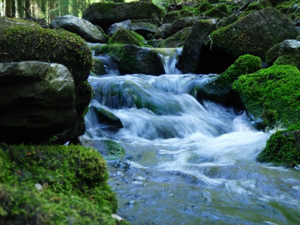
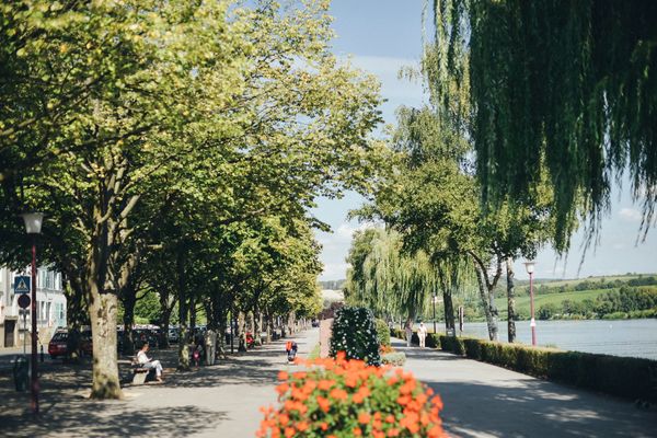
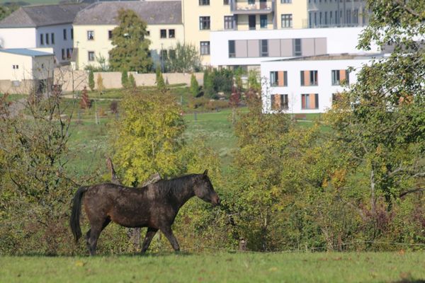
Dr. Pierre Moes pad (plaatselijke flora en fauna, watermolens) van 10 km.
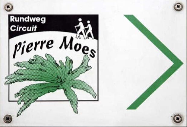
Bewegwijzering
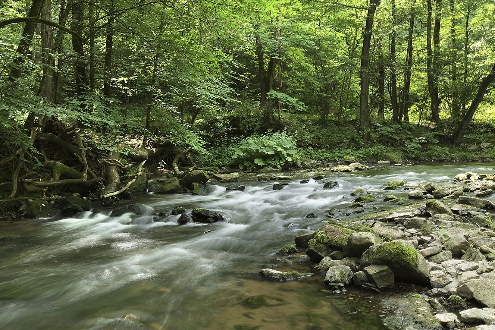
Dr. Pierre Moes pad (plaatselijke flora en fauna, watermolens) van 10 km.
| Tel.: | +352 26 74 78 74 |
| e-mail: | info@visitmoselle.lu |


 Deze website maakt gebruik van technologie en inhoud van het Outdooractive Platform.