Vertrekpunt
Station Roodt-Syr
Bestemming
Station Betzdorf
Route
6,27 km
Duur
1:36 h
moeilijkheid
makkelijk
  • Voorwaarde
Hoogste punt
279 Hm
Laagste punt
219 Hm
Beklimming
50 Hm
Herkomst
60 Hm
Langeafstandswandelroutes Visit Luxembourg

Beschrijving

40 Station naar station Roodt-Syr - Betzdorf

Vertrek: station Roodt-Syr

Om deze video van derden te bekijken, moet je de cookies accepteren.

Hoogtepunten langs de tocht

40 Station naar station Roodt-Syr - Betzdorf

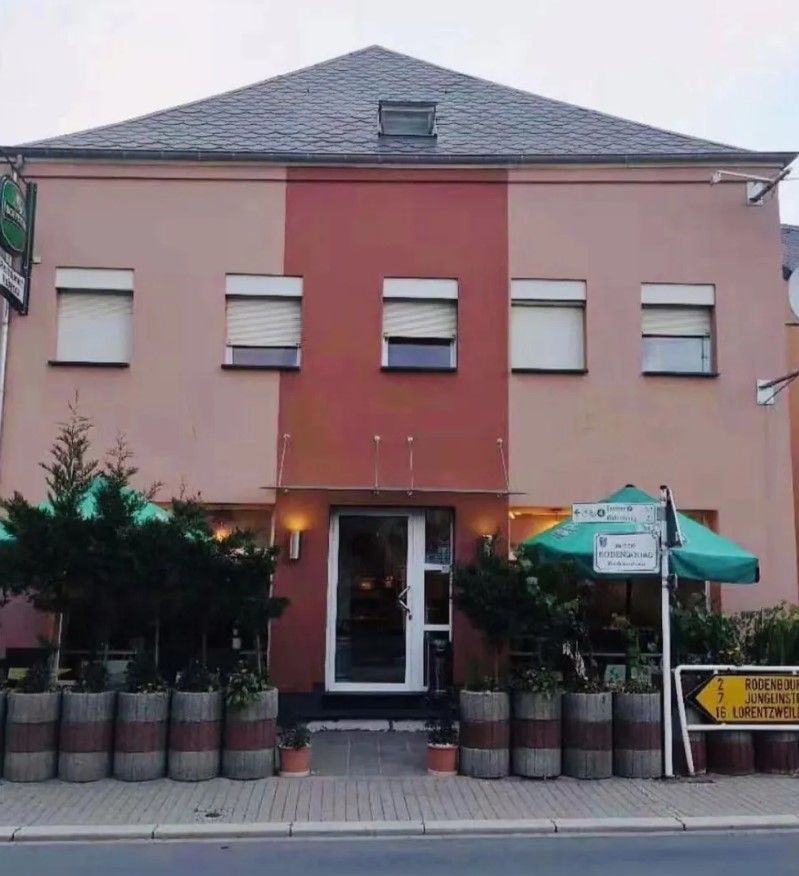
  • Restaurant Rebecca
    Restaurant Rebecca
    Meer informatie

Vergelijkbare wandeltochten

© Michelle Bingen, Visit Moselle
Rondwandelroutes
Burmerange - De grénge Wee
Afstand: 6,87 km
Duur: 1:45 h
Moeilijkheidsgraad: makkelijk
Meer informatie
© Visit Luxembourg
Langeafstandswandelroutes
42 Station naar station Betzdorf - Manternach
Afstand: 7,40 km
Duur: 1:55 h
Moeilijkheidsgraad: makkelijk
Meer informatie
© Visit Moselle, Visit Luxembourg
Thematische routes
Bosontdekkingspad Strombierg
Afstand: 3,46 km
Duur: 1:15 h
Moeilijkheidsgraad: makkelijk
Meer informatie
© Visit Moselle, Visit Luxembourg
Thematische routes
Kanecher Wéngertsbierg
Afstand: 3,73 km
Duur: 1:00 h
Moeilijkheidsgraad: makkelijk
Meer informatie
© Photographer: Claudine Bosseler, Visit Luxembourg
Thematische routes
Natuurleerpad Grouf
Afstand: 8,09 km
Duur: 2:20 h
Moeilijkheidsgraad: makkelijk
Meer informatie
© Visit Luxembourg
Thematische routes
Haff Réimech - Natuurontdekkingspaden
Afstand: 9,87 km
Duur: 2:25 h
Moeilijkheidsgraad: makkelijk
Meer informatie
© Visit Luxembourg
Wine-Information Trail
Afstand: 3,26 km
Duur: 0:53 h
Moeilijkheidsgraad: makkelijk
Meer informatie
© Visit Luxembourg
Rondwandelroutes
Wasserbillig F
Afstand: 8,71 km
Duur: 2:15 h
Moeilijkheidsgraad: makkelijk
Meer informatie
© Visit Luxembourg
Rondwandelroutes
Wasserbillig E
Afstand: 10,69 km
Duur: 3:00 h
Moeilijkheidsgraad: makkelijk
Meer informatie