Langeafstandswandelroutes Visit Luxembourg
Beschrijving
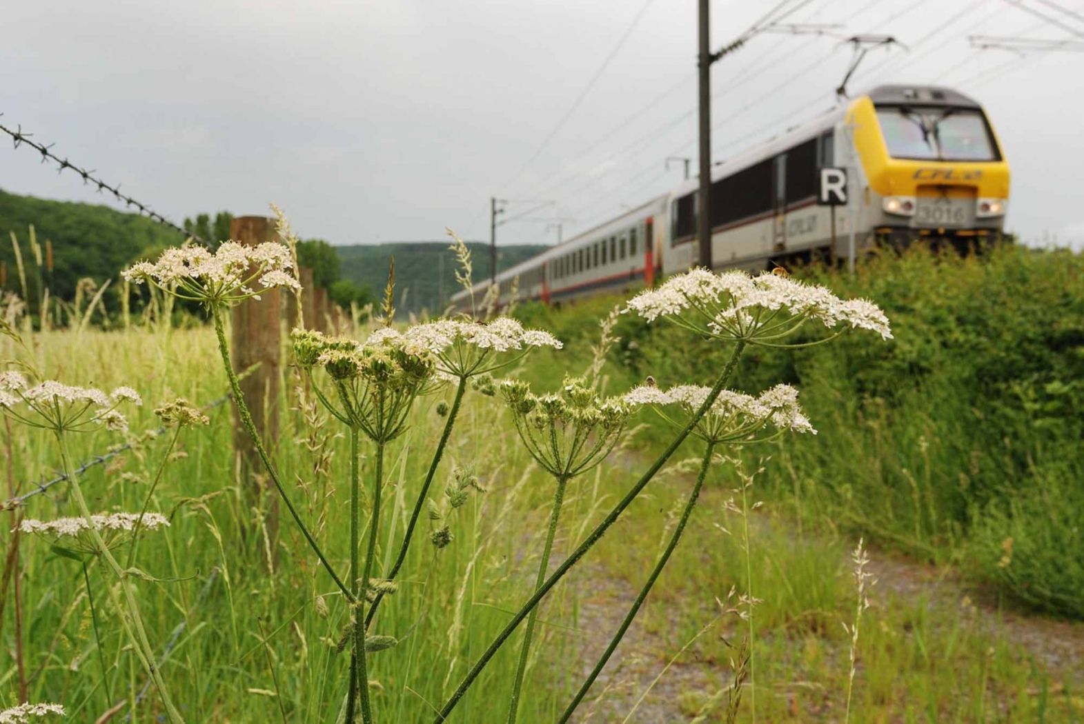
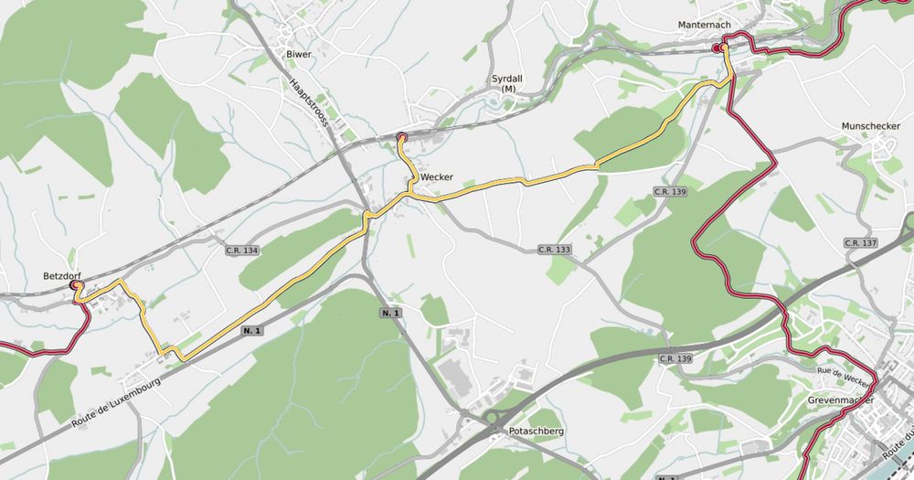
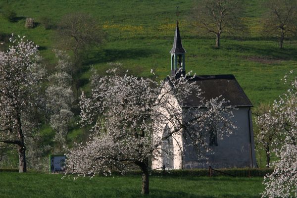
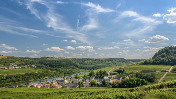
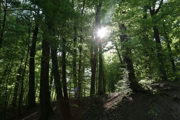
42 Station naar station Betzdorf - Manternach
Vertrek: station Betzdorf
Bewegwijzering

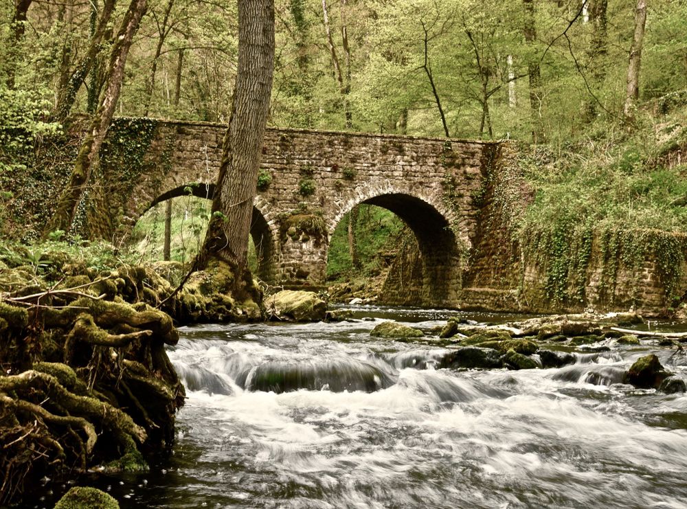
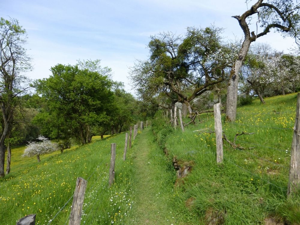
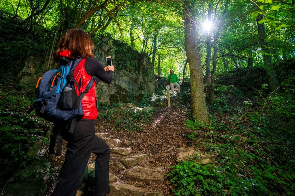
Wegbeschrijving
Het wandelpad is gemarkeerd in beide looprichtingen. Volg de wit-rode markeringen.
Veiligheidsaanwijzingen
Weersomstandigheden zoals nattigheid, ijs en wind kunnen een tocht bemoeilijken. De gegeven informatie heeft betrekking op optimale omstandigheden.
Uitrusting
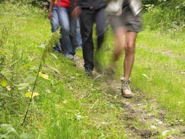
Stevige schoenen en iets te drinken.
Aankomst
Openbaar vervoer:
Parking:
Maak gebruik van het gratis openbaar vervoer en reis klimaatvriendelijk met bus en trein. Begin- en eindpunt van alle CFL-routes zijn per trein bereikbaar.
Parking:
Op de gratis parkeerplaats bij de startpunt.


 Deze website maakt gebruik van technologie en inhoud van het Outdooractive Platform.