Rondwandelroutes Visit Luxembourg
Beschrijving
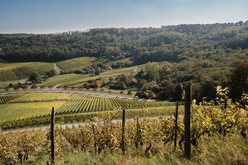
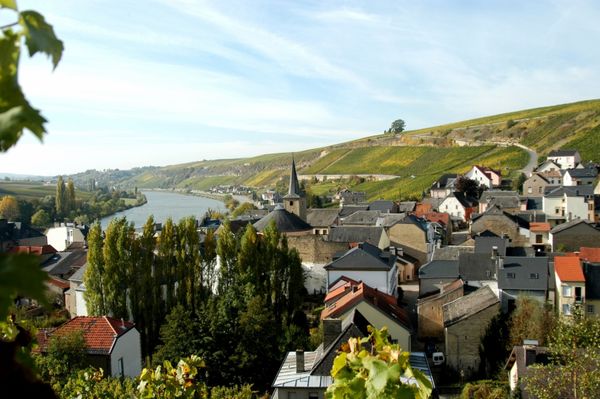
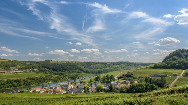
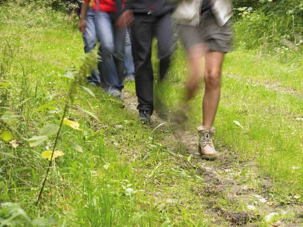
Auto-pédestre wandelroute Schwebsange
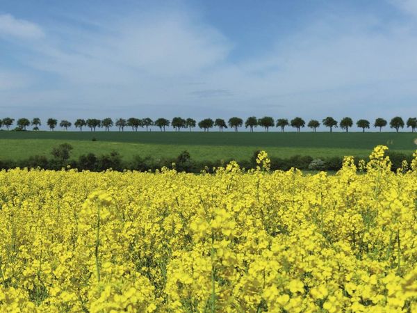
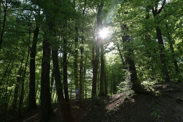
Door wijngaarden bereiken we de beboste hoogten van de "Felsbierg", passeren we het Donatusmonument en keren we weer terug door wijngaarden naar Schwebsingen.
Wegbeschrijving
Volg de blauwe diamant op een witte achtergrond, het pad is in beide richtingen gemarkeerd.
Aankomst
Openbaar vervoer:
Parking:
Bushalte: Schwebsingen, Centre
Parking:
Er is een parkeerplaats direct bij het startpunt.


 Deze website maakt gebruik van technologie en inhoud van het Outdooractive Platform.