Route
7,09 km
Duur
1:49 h
moeilijkheid
makkelijk
  • Voorwaarde
  • Techniek
Hoogste punt
327 Hm
Laagste punt
190 Hm
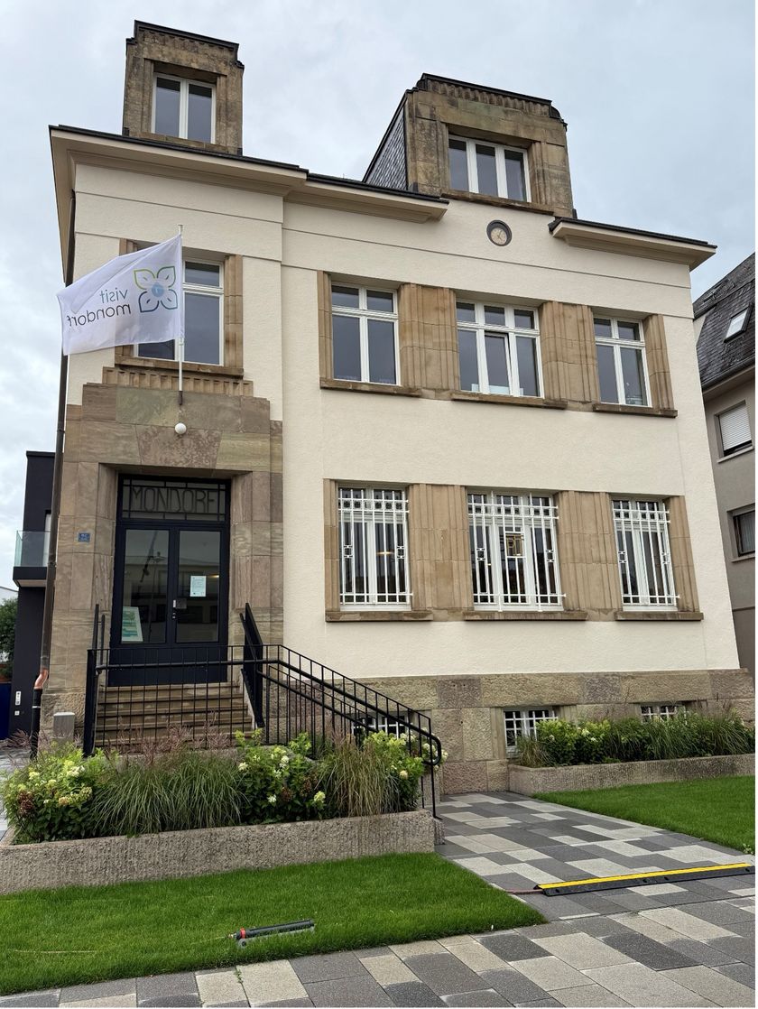
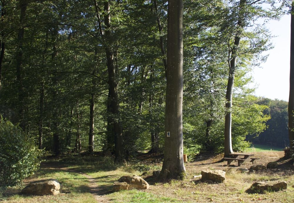
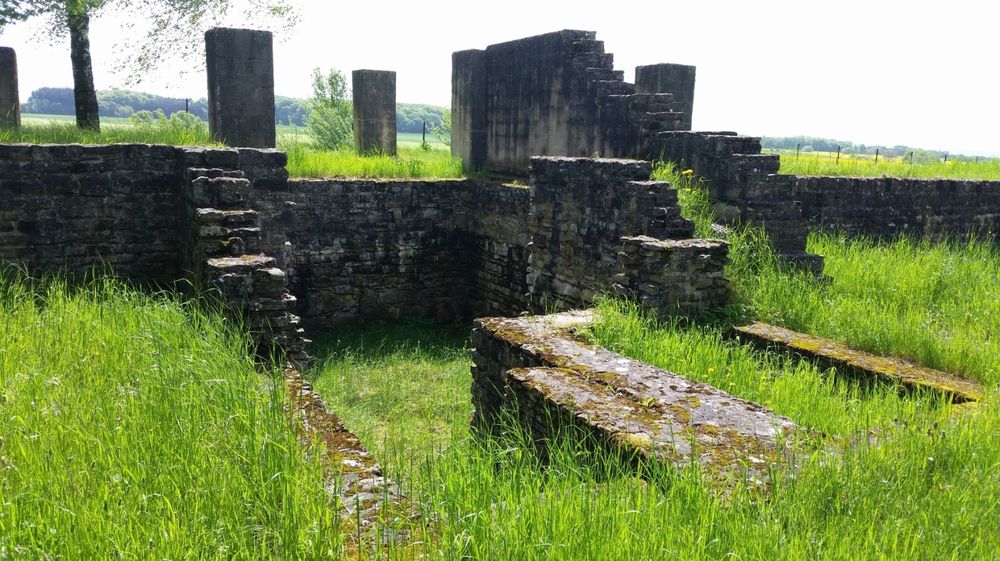
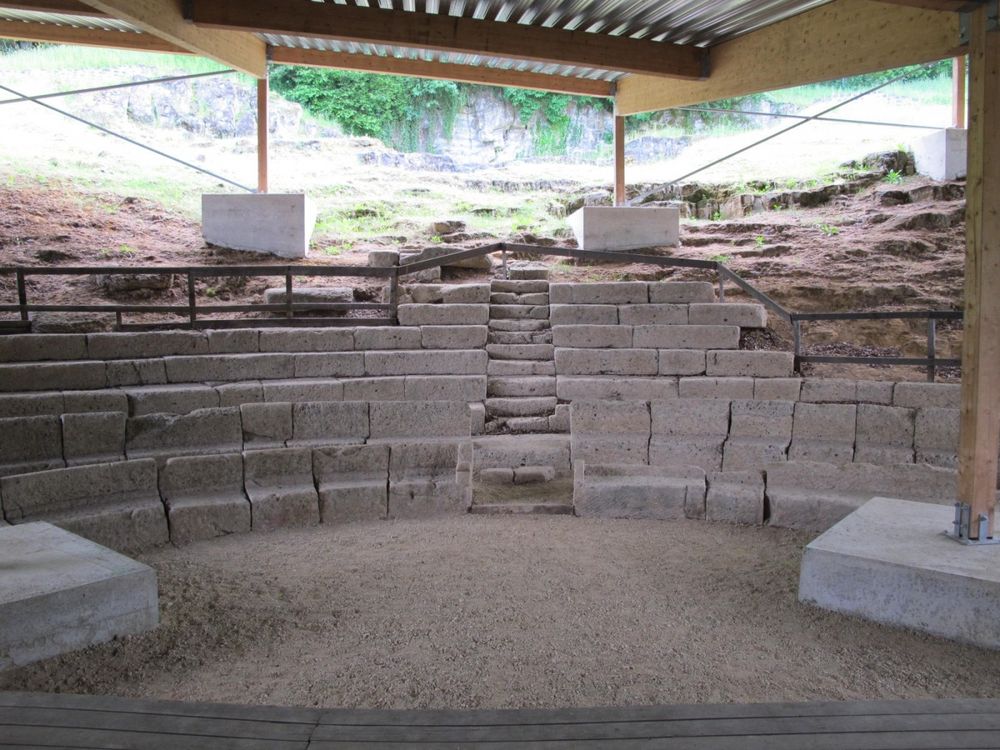
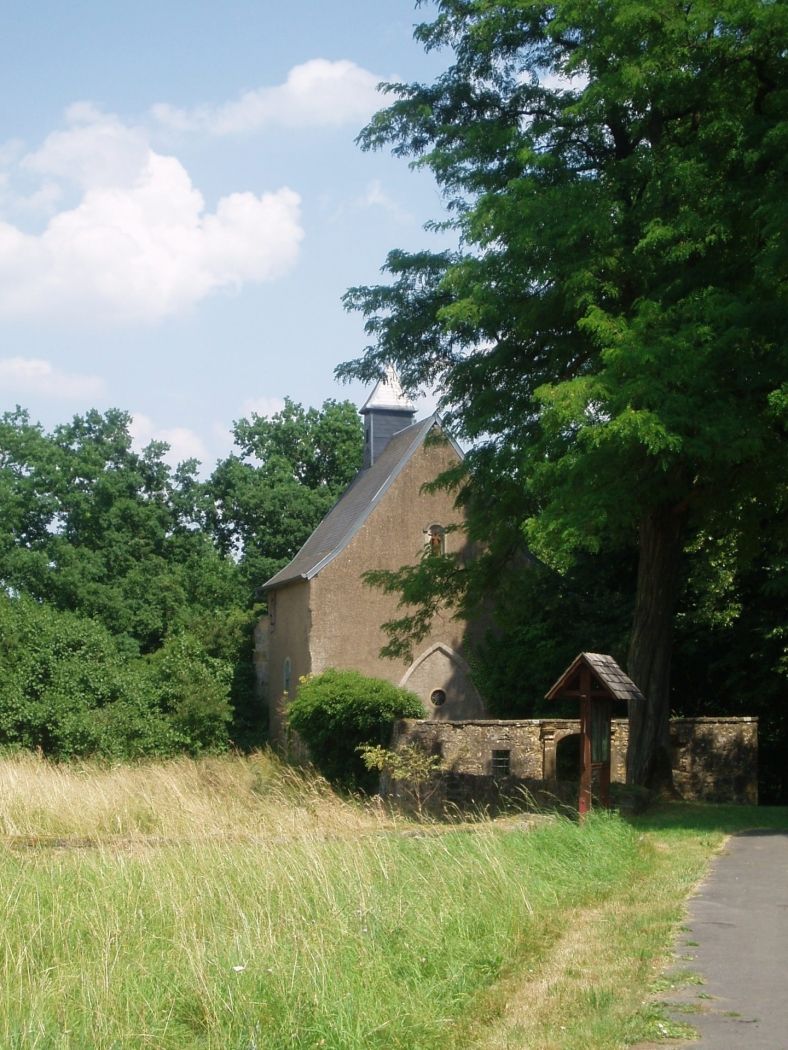
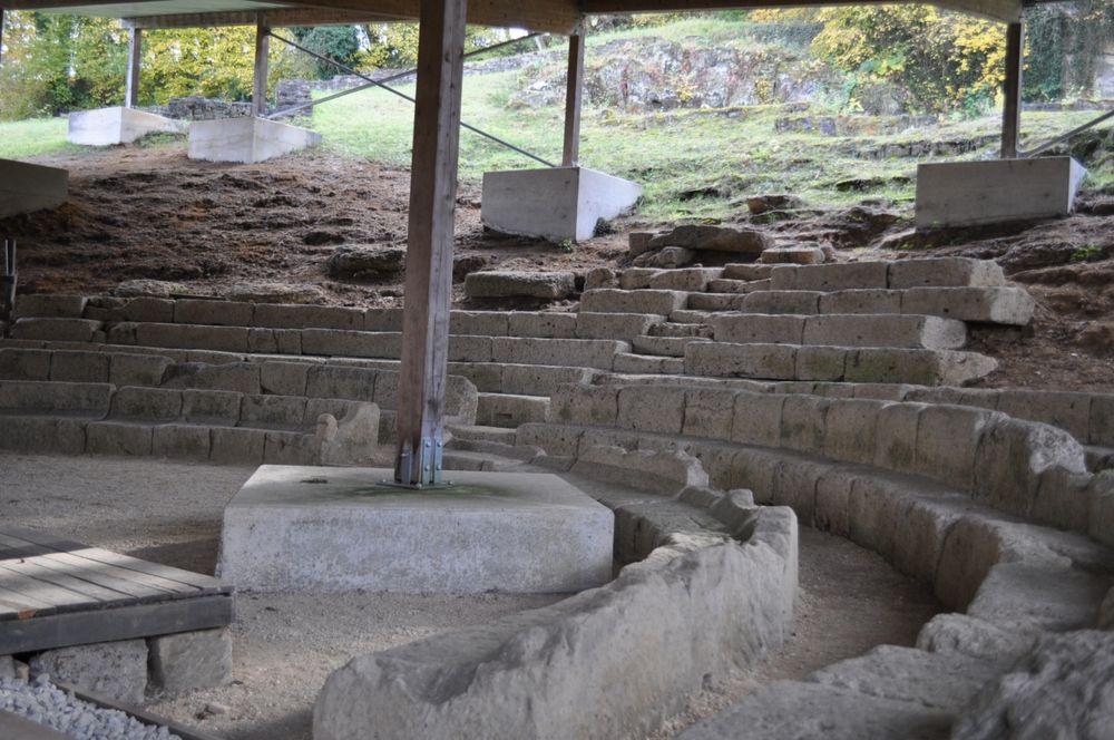
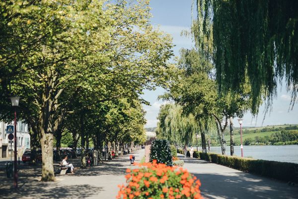
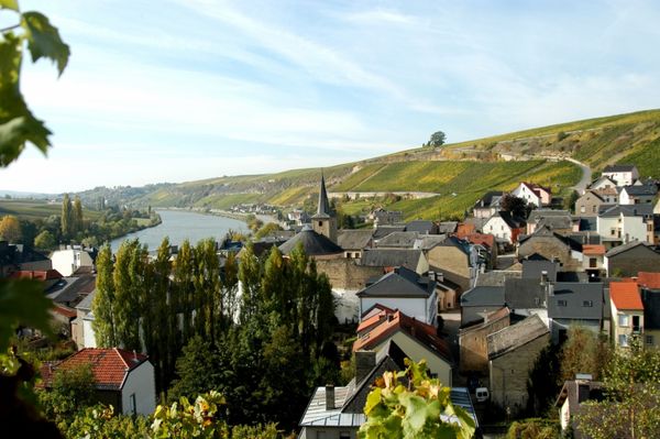
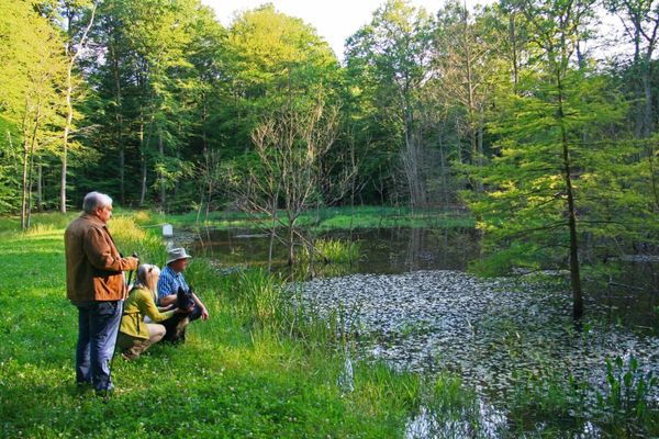
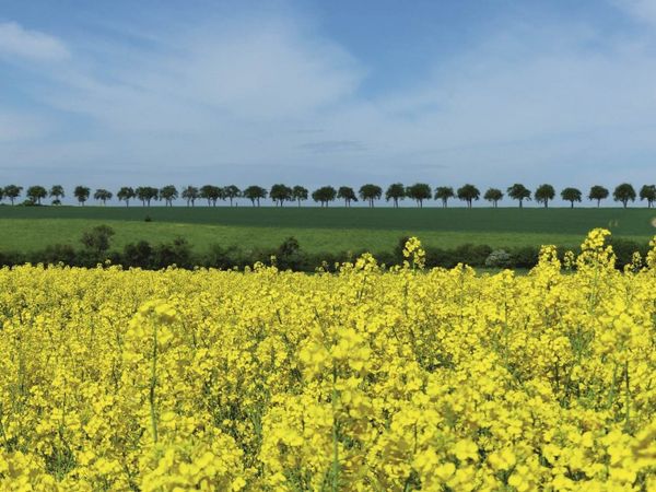
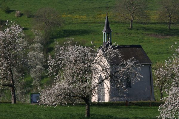
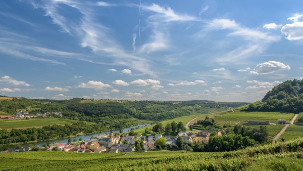
Visit Moselle

Beschrijving

Mondorf-les-Bains-Dalheim
voor rondreizen
mondorf-les-bains-dalheim gpx
Alle foto's tonen

Hoogtepunten langs de tocht

Mondorf-les-Bains-Dalheim

  • 20220224-TI-Mondorf©Visit Moselle Luxembourg-Pancake! Photographie (2)
    Waar? 26, Avenue des Bains, L-5610 Mondorf-les-Bains
    Tourist Info Mondorf-les-Bains
    Tourist Info Mondorf-les-Bains
    Meer informatie
  • Waar? 52, Avenue des Bains, L-5610 Mondorf-les-Bains
    Mondorf Domaine Thermal
    Mondorf Domaine Thermal
    Meer informatie

Vergelijkbare wandeltochten

Langeafstandswandelroutes
40 Station naar station Roodt-Syr - Betzdorf
Afstand: 6,27 km
Duur: 1:36 h
Moeilijkheidsgraad: makkelijk
Meer informatie
Langeafstandswandelroutes
42 Station naar station Betzdorf - Manternach
Afstand: 7,40 km
Duur: 1:55 h
Moeilijkheidsgraad: makkelijk
Meer informatie
Rondwandelroutes
Auto-pédestre wandelroute Machtum
Afstand: 7,76 km
Duur: 2:13 h
Moeilijkheidsgraad: makkelijk
Meer informatie
Rondwandelroutes
Auto-pédestre wandelroute Grevenmacher II
Afstand: 6,30 km
Duur: 1:43 h
Moeilijkheidsgraad: makkelijk
Meer informatie
Rondwandelroutes
Auto-pédestre wandelroute Manternach
Afstand: 7,66 km
Duur: 2:13 h
Moeilijkheidsgraad: makkelijk
Meer informatie
Rondwandelroutes
Auto-pédestre wandelroute Mondorf-les-Bains
Afstand: 10,03 km
Duur: 2:37 h
Moeilijkheidsgraad: makkelijk
Meer informatie
Rondwandelroutes
Auto-pédestre wandelroute Remerschen
Afstand: 9,75 km
Duur: 2:37 h
Moeilijkheidsgraad: makkelijk
Meer informatie
Rondwandelroutes
Auto-pédestre wandelroute Remich
Afstand: 9,74 km
Duur: 2:30 h
Moeilijkheidsgraad: makkelijk
Meer informatie
Rondwandelroutes
Berbourg A
Afstand: 9,54 km
Duur: 2:28 h
Moeilijkheidsgraad: makkelijk
Meer informatie
outdooractive Deze website maakt gebruik van technologie en inhoud van het Outdooractive Platform.