Circular routes Visit Luxembourg
Description
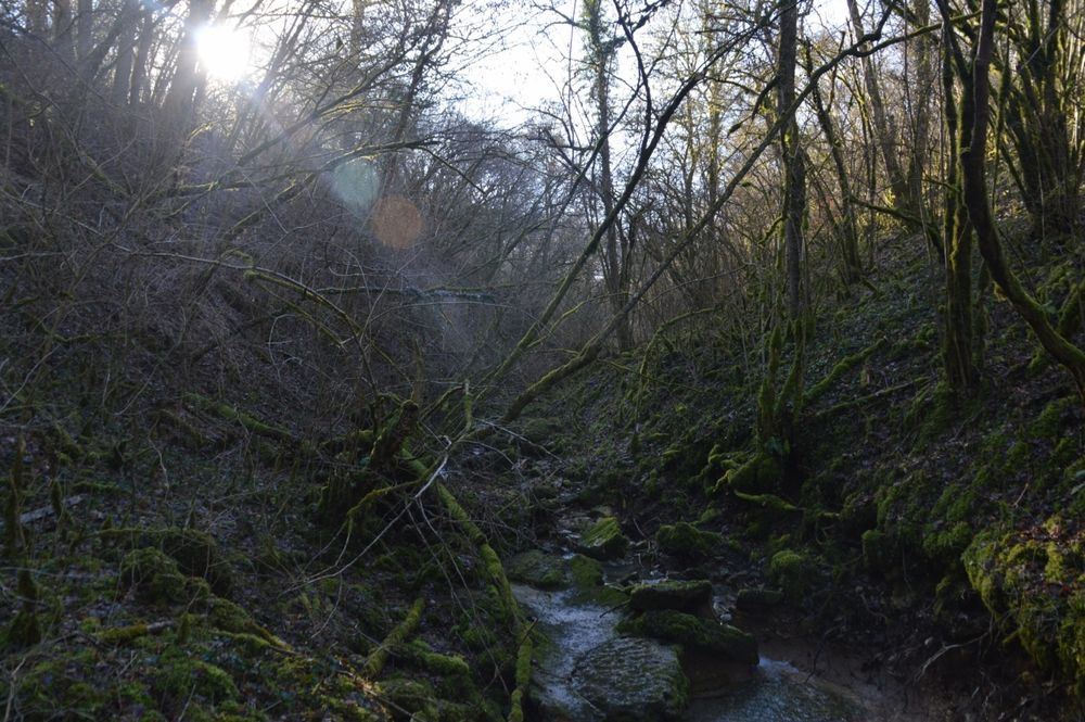
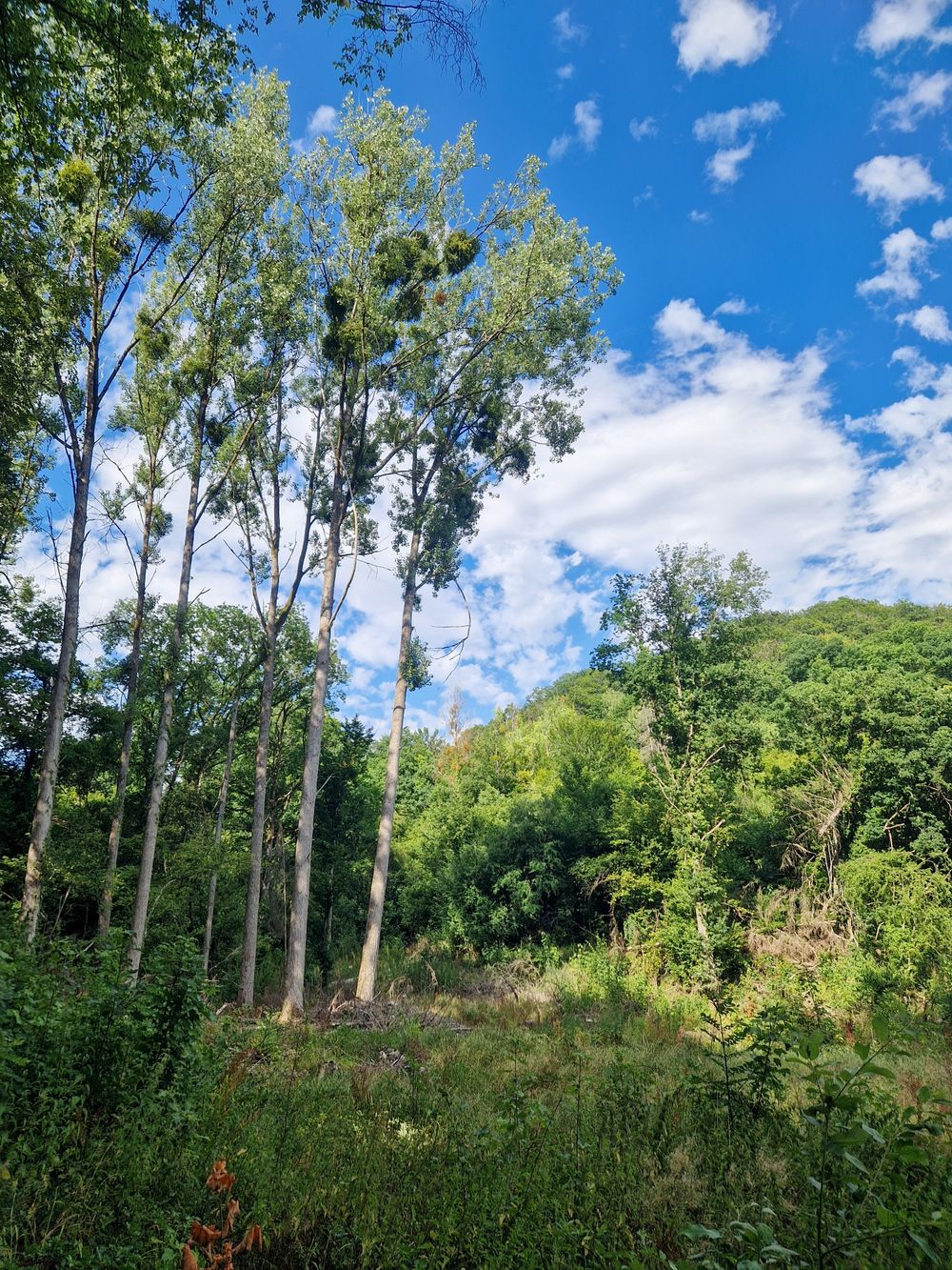
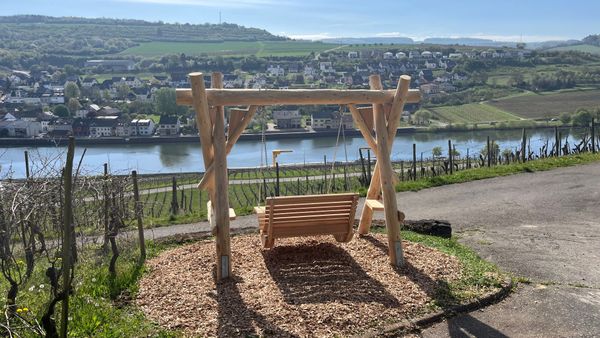
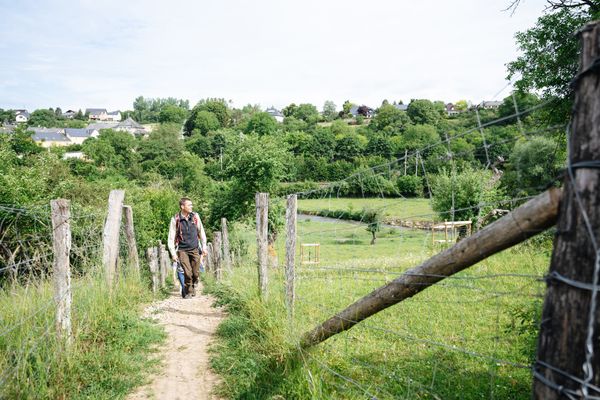
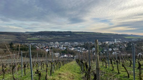
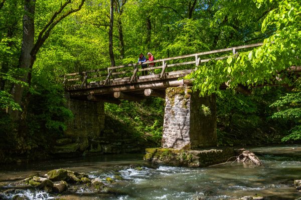
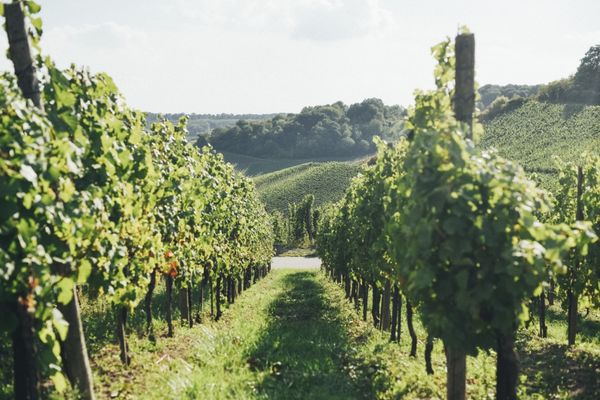
Local hiking trail in Elvange
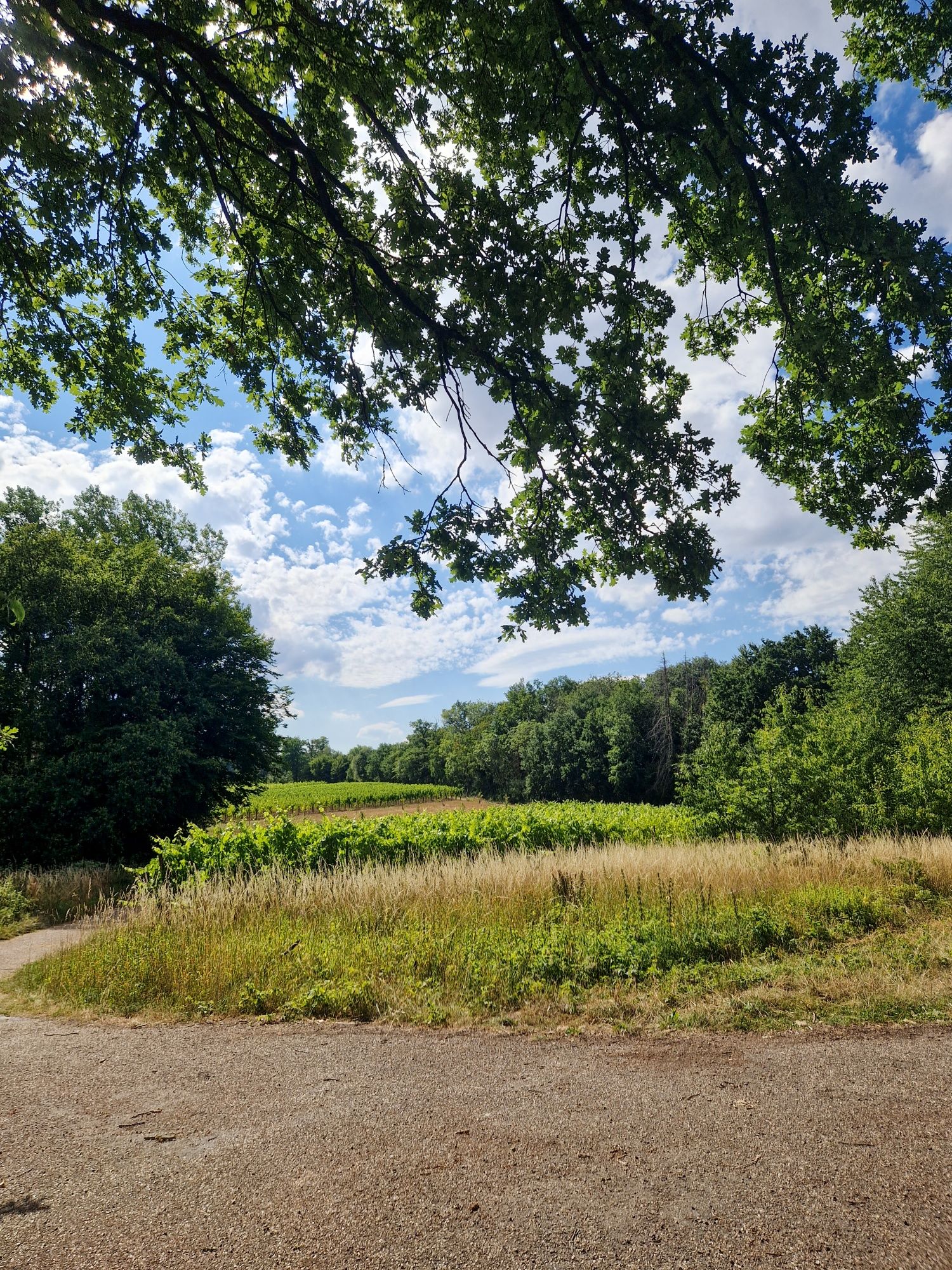
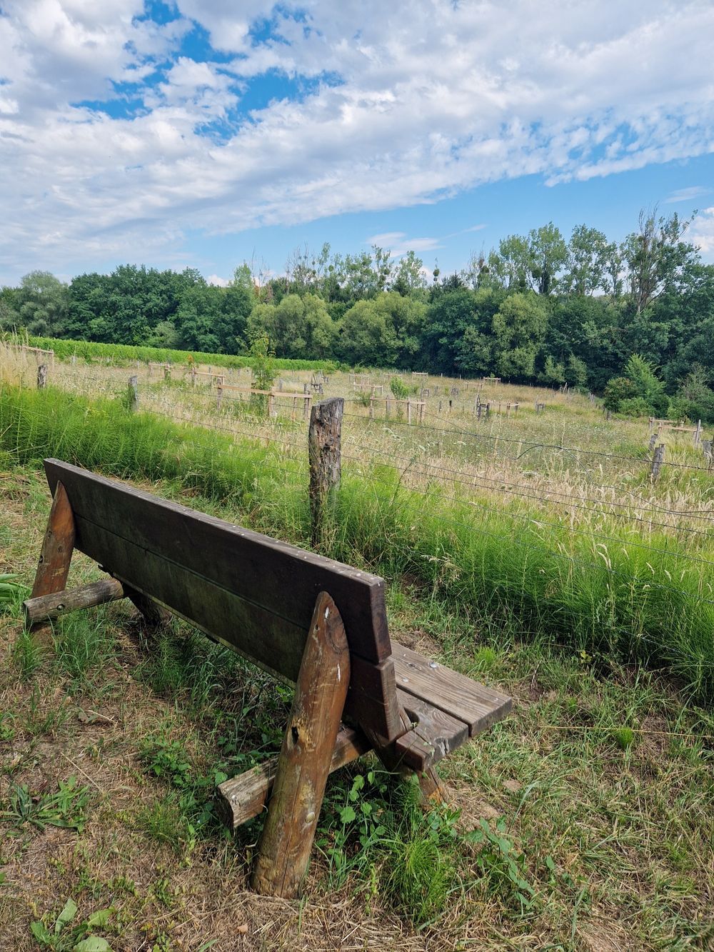
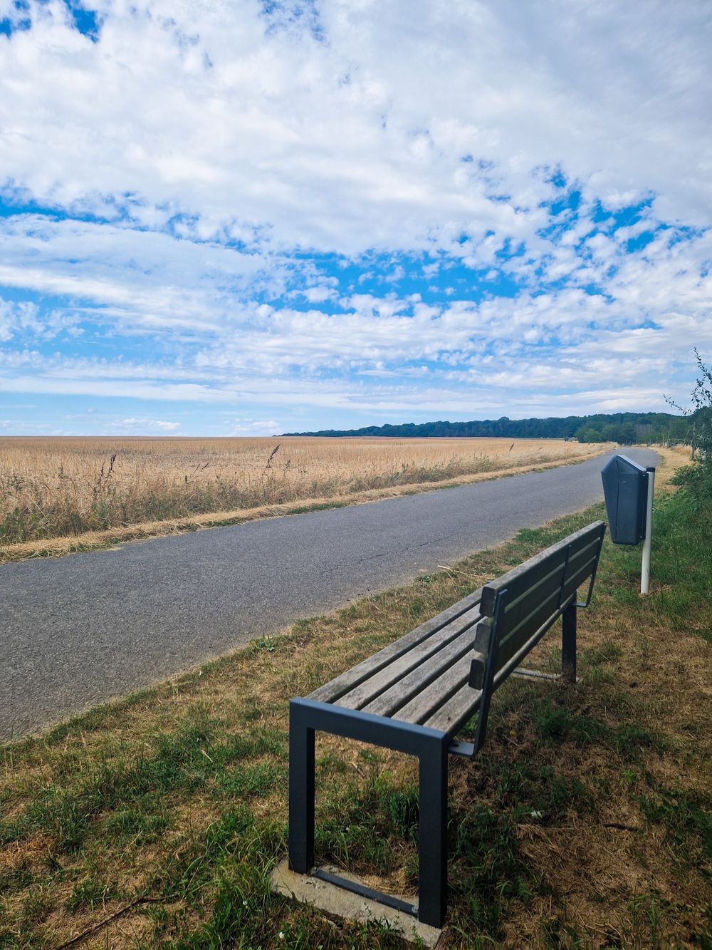
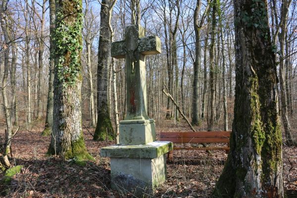
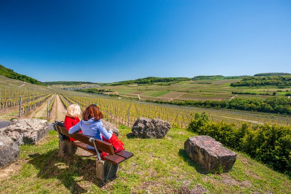
After the starting point at the church, the hike leads through the Rue du Bois; at the end of the Alta Via, turn left where you reach the Remich road. A parallel path to the Scheuerberg road takes you to Triangle Vert, where the hike passes the Hittengerbësch. In the south of the forest used to be a the settlement, which destroyed in the 16th century due the pest and raids by the French army. The pear tree avenue offers a wonderful panorama - a path that was already marked on medieval maps! The walk ends with a path down into the little valley of the Uelesbaach, where you have several possibilities to reach the mountain village Elvingen again.
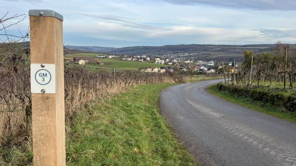
Signposting

Equipment
firm footwear
Journey
Public transport:
Parking:
Bus stop: Elvange, Bei Tubes
Parking:
Parking next to the church


 This website uses technology and content from the Outdooractive Platform.