Circular routes Visit Luxembourg
Description
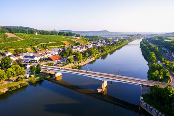
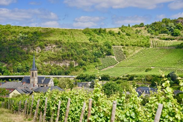
Wuetelbierg
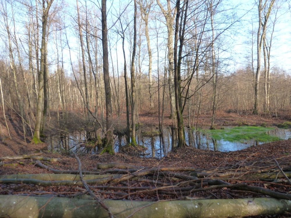
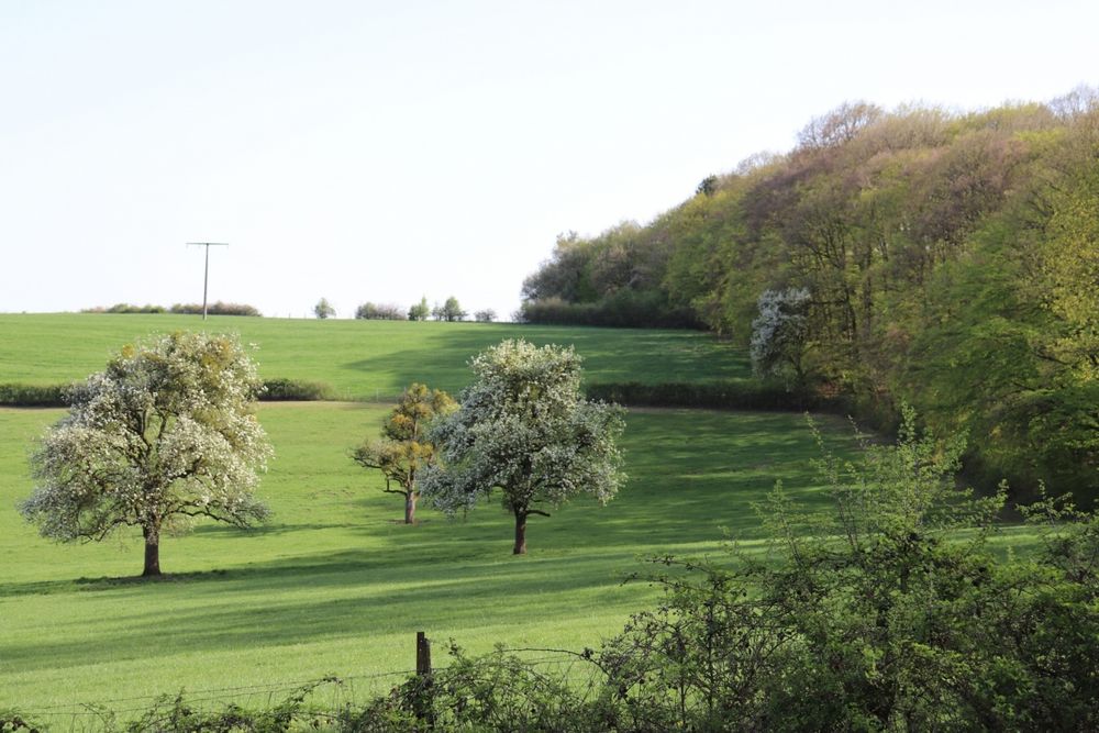
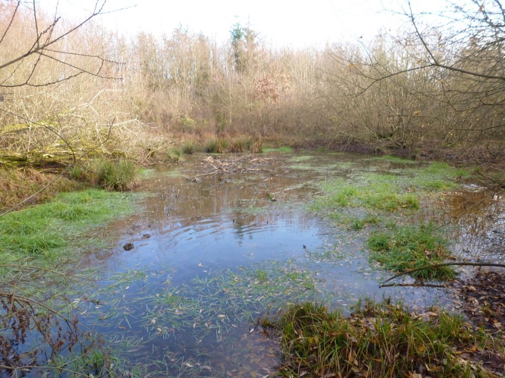
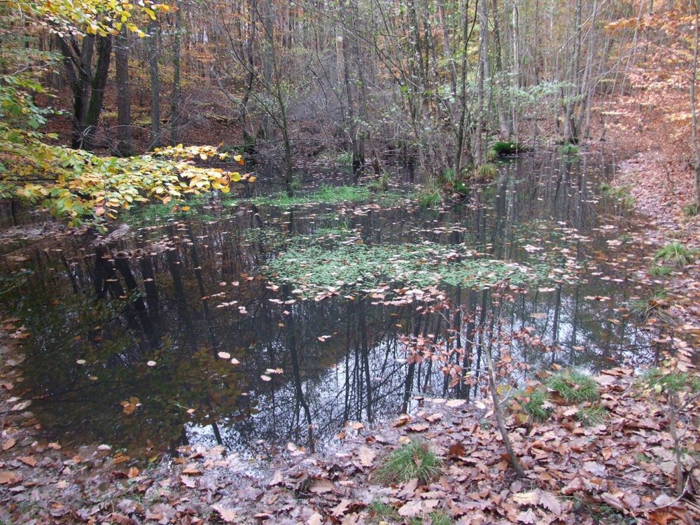
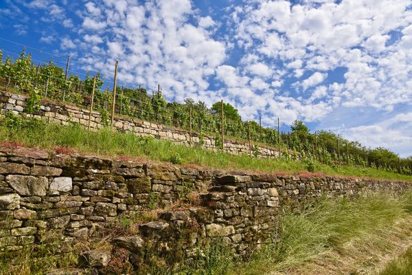
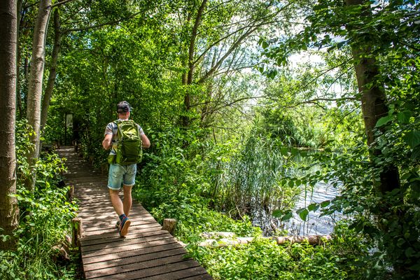
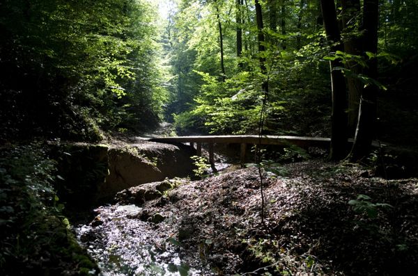
From Wuetelbierg, the trail leads through the forests of the municipalities of Wormeldange and Flaxweiler without major inclines. Walkers can enjoy a wide variety of forest landscapes, including mixed oak and beech forests, former middle forests, oak and hornbeam forests with heavy soil vegetation and natural regeneration. They also pass afforested areas, where the old spruce stands were knocked over by the storms in 1984 and 1990. Among other things, the high proportion of deadwood testifies to the near-natural care of the forests.
Equipment
firm footwear


 This website uses technology and content from the Outdooractive Platform.