Description
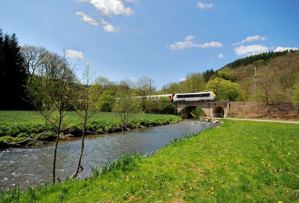
Starting point: Munsbach station
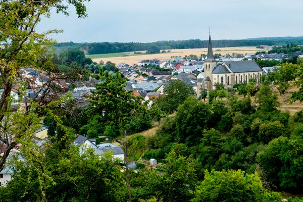
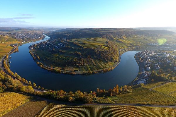
We cross the rail tracks and the Syre and wander uphill towards the Kazebësch. The trail leads through Beyren, apenaker and Oberdonven as far as the edge of the Moselle valley. We come past Machtum and walk through the vineyards of Grevenmacher. We cross the town and continue uphill. We take the motorwaybridge as far as the haard and arrive at Groësteen. We then walk to Manternach station, the goal of our walk.
Signposting

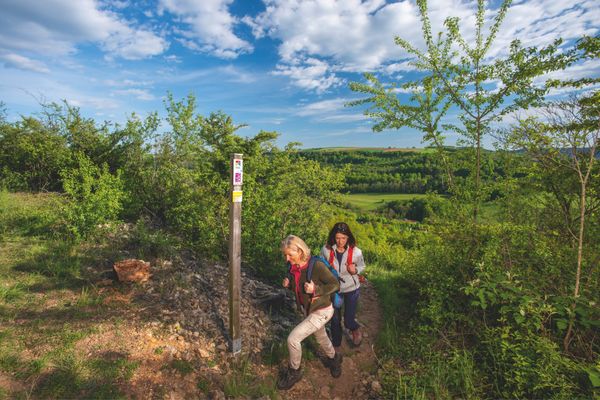
Directions
The hiking trail is marked in both walking directions. Please follow the white-red waymarks.
For your safety
Weather conditions such as wetness, ice and wind can make a tour difficult. The information given refers to optimal conditions.
Equipment
Sturdy shoes and something to drink.
Journey
Use the free public transport and travel climate-friendly by bus and train. The start and end points of all CFL trails are accessible by train.
Parking:
A parking place is located directly at the starting point.

 This website uses technology and content from the Outdooractive Platform.