Description
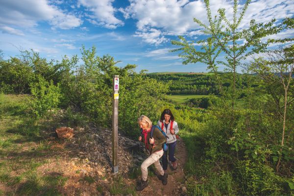
The Liberation Route Europe runs across Luxembourg, from the Ardennes to the Moselle, following the paths of the Allies in the Second World War.
The trail network of the Liberation Route Europe is a unique cross-border memorial extending over 10,000 km across Europe, tracing the advance of the allied troops to liberate Europe during the Second World War.
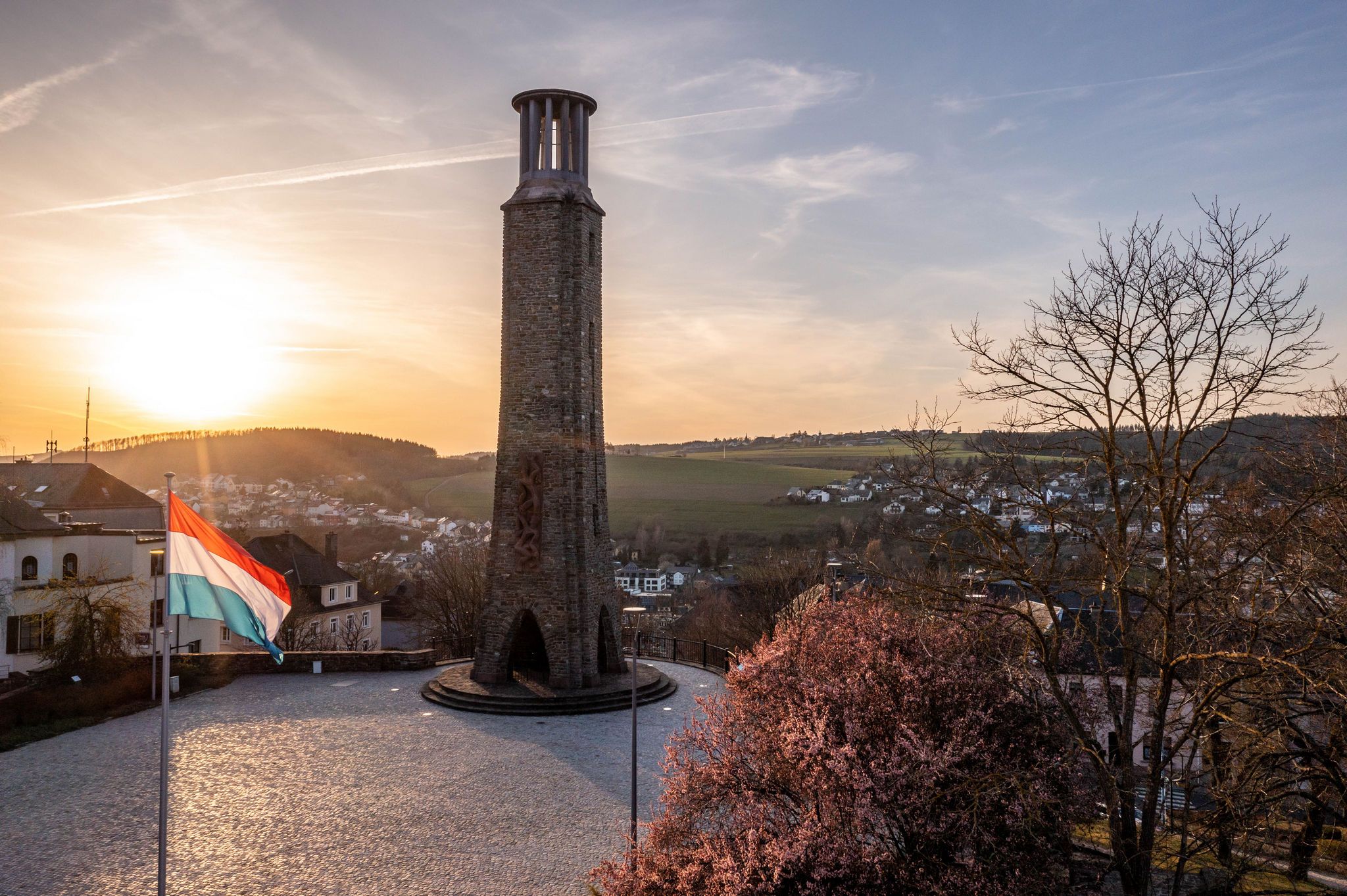
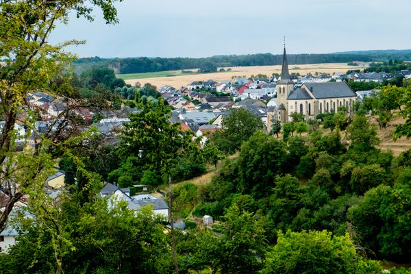
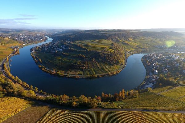
The route runs in Luxembourg over a total of more than 270 kilometers through the Ardennes in the north of the country, crossing the rocky landscape in the Müllerthal, along the Alzette stream into the fortress city of Luxembourg, which is over 1000 years old, and onwards to the vineyards on the sunny slopes along the Moselle.
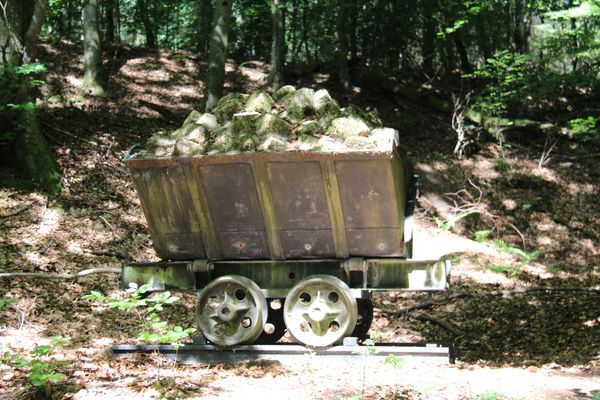
The route passes many historical places and tells stories from various perspectives that were significant in the final phase of the Second World War.
Directions
1. The Liberation Route Europe (LRE) comes from France and Germany via the Europe Bridge in Schengen on the Moselle to Luxembourg; follow the national long-distance hiking trail "Schengen-Hellange" (yellow circle on blue background) to Budersberg (36.8 km);
2. follow the national long-distance trail "Sentier du Sud" (yellow rectangle on blue background) from Budersberg to Polfermillen, a suburb of Luxembourg City (32.5 km);
3. from Polfermillen along the river "Alzette" on CFL Path No. 20 (red CFL logo) over the Alzette bridge to the "Montée du Grund" at the foot of Luxembourg City (1.3 km);
4. from the "Montée du Grund" to the station in Dommeldange follow CFL Path No. 19 (red CFL logo) (3.3 km);
5. from Dommeldange follow the national long-distance trail "Sentier du Mellerdall" (yellow circle on blue background) to near Junglinster, until replaced by the "Mullerthal Extratour D" (salmon-colored "M") (11.0 km);
6. turn right onto the "Mullerthal Trail ExtraTour D" (salmon-colored "M") to Blumenthal where the LRE path meets the Mullerthal Trail Route 3 (13.4 km)
7. from Blumenthal to the famous "Schiessentümpel" on the Mullerthal Trail Route 3, then further right up the slope to the next road (6.3 km);
8. upon reaching the top, cross the CR118 road and follow Mullerthal Trail Route 2 to Echternach (22.0 km);
9. from Echternach follow the national long-distance trail "Sentier Maurice Cosyn" (yellow circle on blue background) to Gilsdorf (31.0 km);
10. from Gilsdorf on the national long-distance trail "Sentier Adrien Ries" (green-blue sign) past Diekirch to the station in Ettelbrück (12.2 km);
11. from the station in Ettelbrück hike on the Leading Quality Trail, Best of Europe "Escapardenne" (blue wave on white background) to Kautenbach (51.7 km);
12. follow the LRE main path* via CFL Path No. 17 (red CFL logo) to Wiltz (12.3 km);
(* a northern variant leads faster towards the Netherlands and Germany)
13. from the station in Wiltz follow the national long-distance trail "Panorama" (yellow triangle on blue background) to Winseler (3.4 km);
14. from Winseler to the entrance of Oberwampach follow the long-distance trail "Sentier Rhin-Meuse" (white wave on green background) (7.0 km);
15. from Oberwampach, turn left and follow the specific "LRE" markings to the Belgian border, where the LRE hiking trail continues to Bastogne (4.4 km);
Total: Schengen to Belgian border: 248.6 km
For your safety
Weather conditions such as wetness, ice, and wind can make a route more difficult. The information refers to optimal conditions.
Equipment
Sturdy footwear and something to drink.
Prepare for the route and inform yourself about accommodation and dining options.
Journey
Use the free public transport and travel climate-friendly by bus and train.
Train stations along the route: Wiltz, Kautenbach, Goebelsmühle, Michelau, Ettelbrück, Diekirch, Dommeldange, Luxembourg, Schifflange, Burange, Perl (D)
Bus stations: Echternach, Junglinster, Mondorf, Schengen

 This website uses technology and content from the Outdooractive Platform.