Description
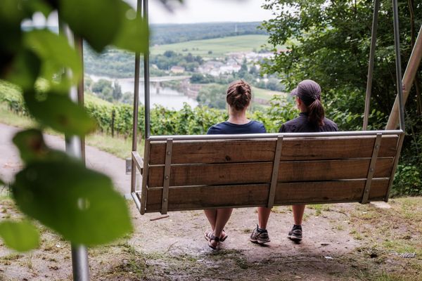
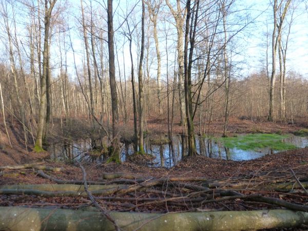
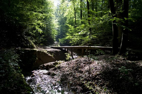
A beautiful landscape awaits you on this hike around the lowest point of the country!
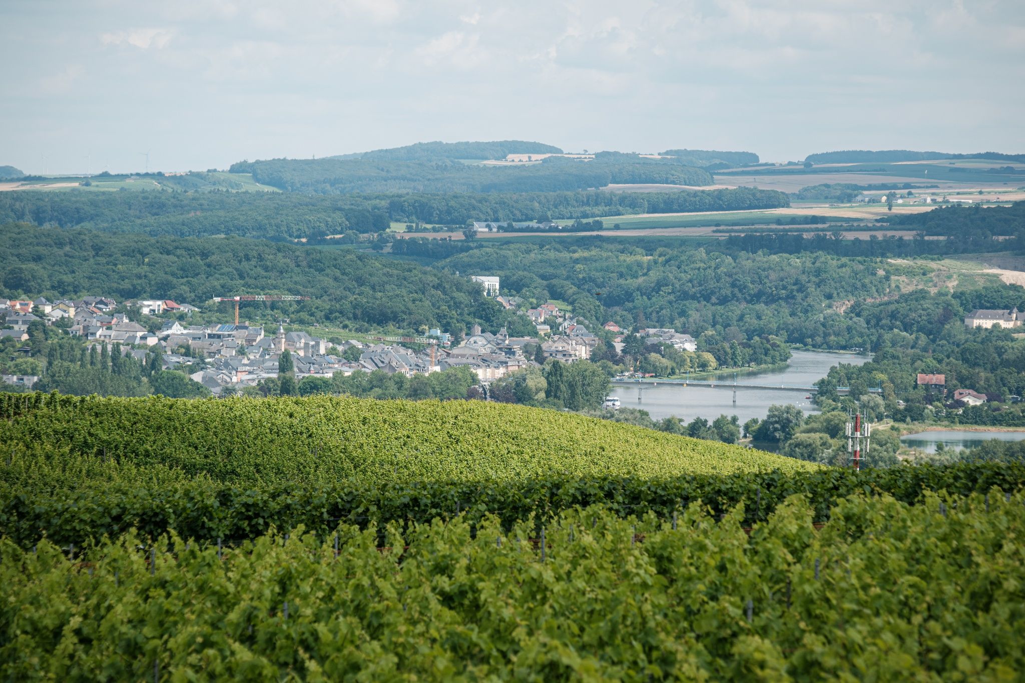
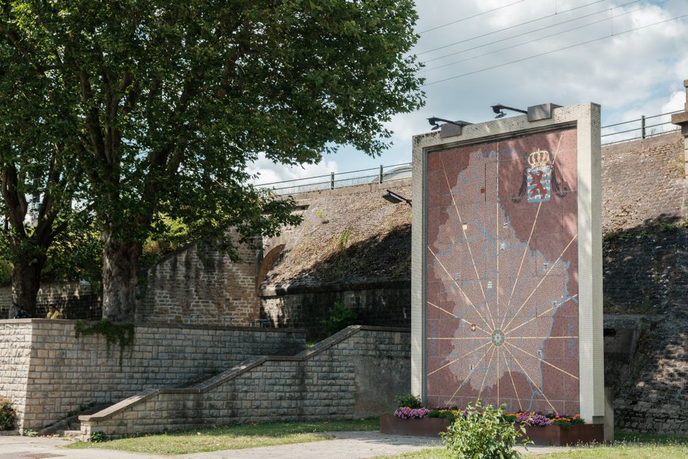
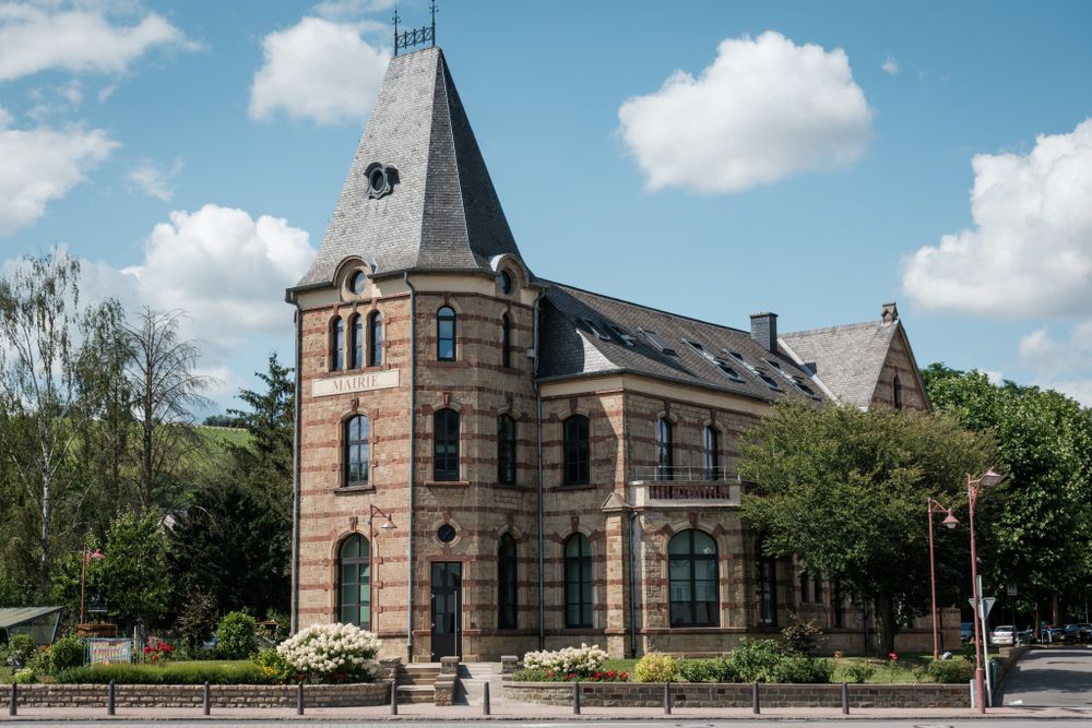
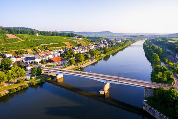
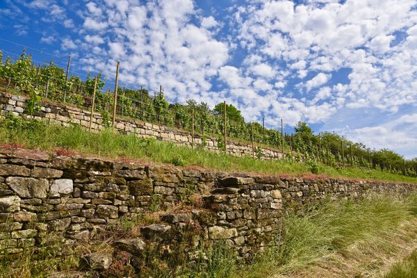
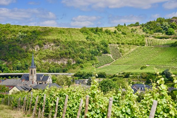
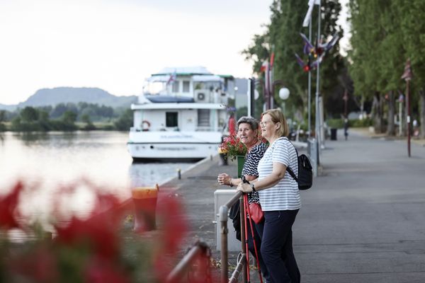
In the center of the historic village of Wasserbillig on the German-Luxembourg border, you can relax first at the confluence of the Sauer and Moselle. Or you can start right away on the scenic route. At the start of this hike, the beautiful former train station building immediately catches the eye, now the seat of the municipal administration. From the station, the route goes uphill through Rue Duchscher towards Bocksberg with beautiful views of the Moselle and Sauer valleys. Along the highway past a water reservoir with information about the painter Jean-Pierre Beckius, you will return to the starting point via a vineyard path.
Signposting
Directions
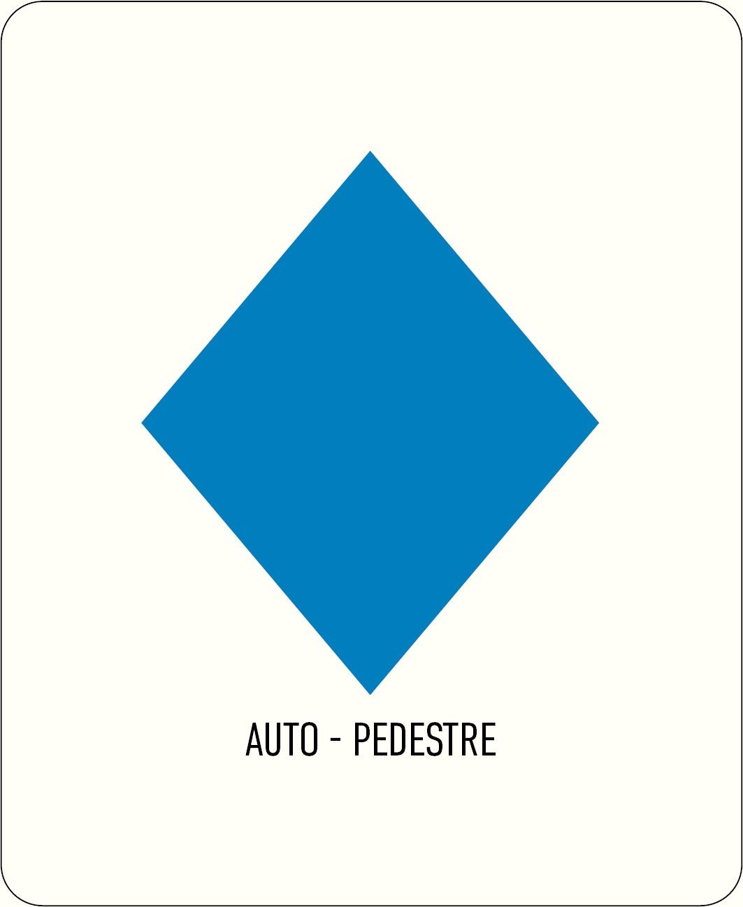
Follow the blue diamond on a white background, the path is marked in both directions.
Journey
Nearest bus stop: Wasserbillig, Gare routière
By train: Wasserbillig, Gare
Parking:
Wasserbillig train station


 This website uses technology and content from the Outdooractive Platform.