Thematic paths Visit Luxembourg
Description
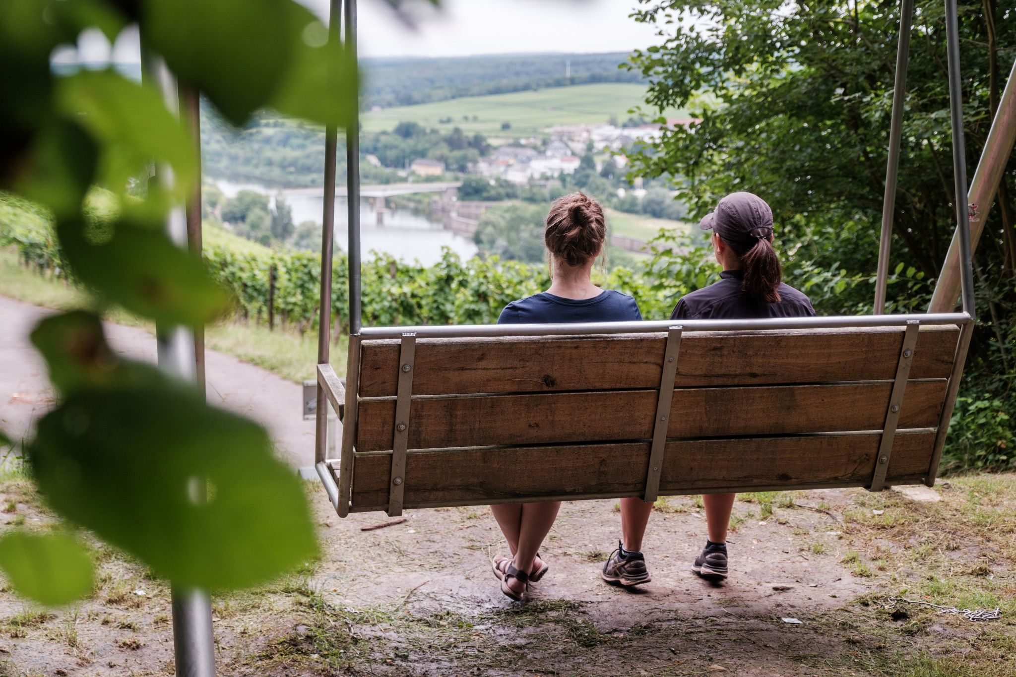
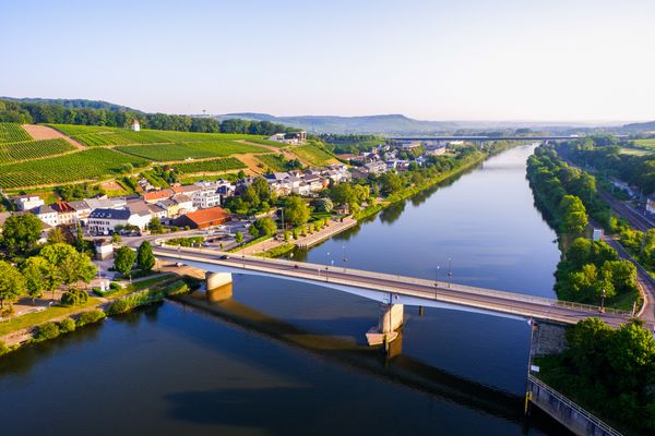
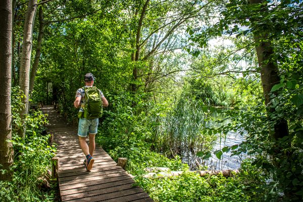
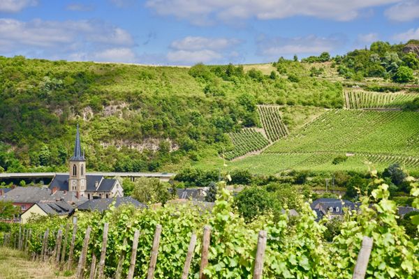
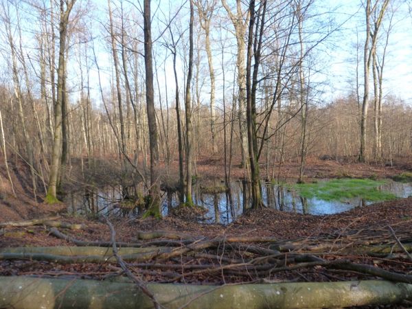
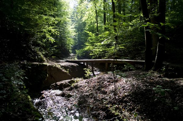
Wild nature in the tri-border area Germany-France-Luxembourg!
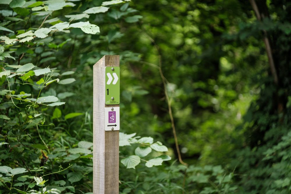
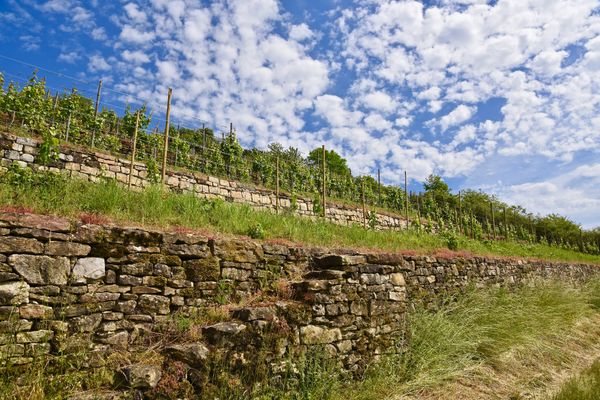
The path consists of two parts, which can also be hiked separately: The northern loop, 2 km long, runs through the village of Schengen and the Markusberg wine-growing area. The southern loop is 3.2 km long from the starting point and leads partly on spectacular paths through the nature reserve "Strombierg". 23 information boards explain various aspects of nature conservation, the former gypsum mining, as well as the landscape, geological and cultural-historical features.
GPX
strombierg gpxEquipment
Sturdy footwear
Journey
Public transport:
Parking:
Nearest bus stop: Schengen, Ennen am Doref
Parking:
Under the bridge in Schengen

 This website uses technology and content from the Outdooractive Platform.