Thematic paths Visit Luxembourg
Description
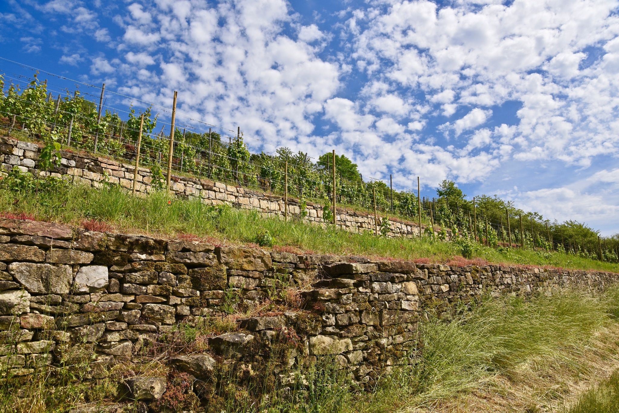
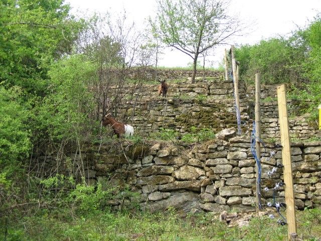
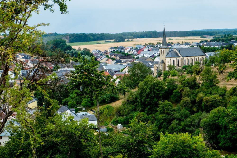
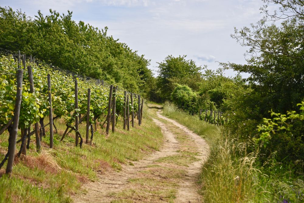
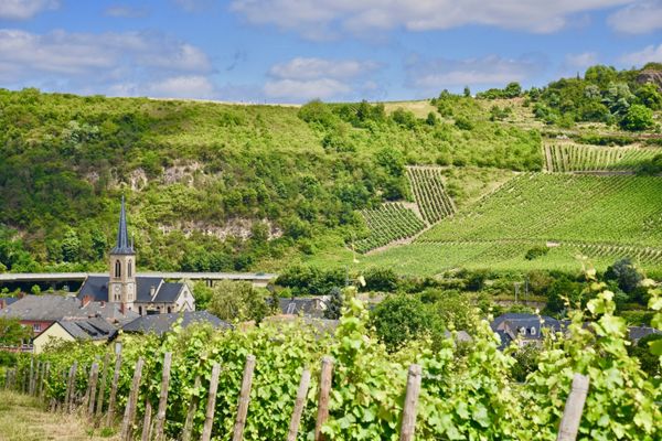
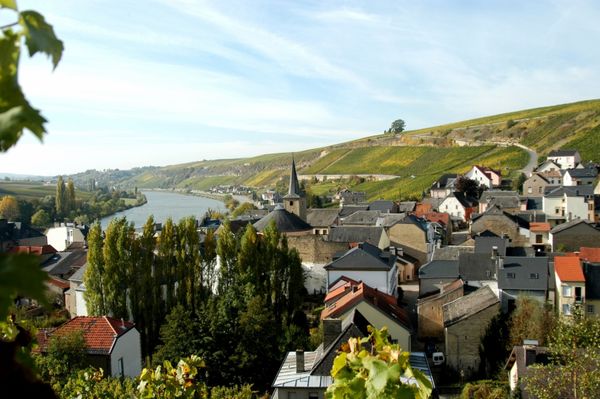
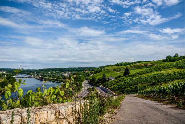
Kanecher Wéngertsbierg
The educational trail through the organic vineyard shows the historical development of the Luxemburgian vineyards. The educational trail brings you closer to the structures of the vineyard terraces that were once typical of the region around Canach. These are still well-preserved and form an important natural resource in the region.
Equipment
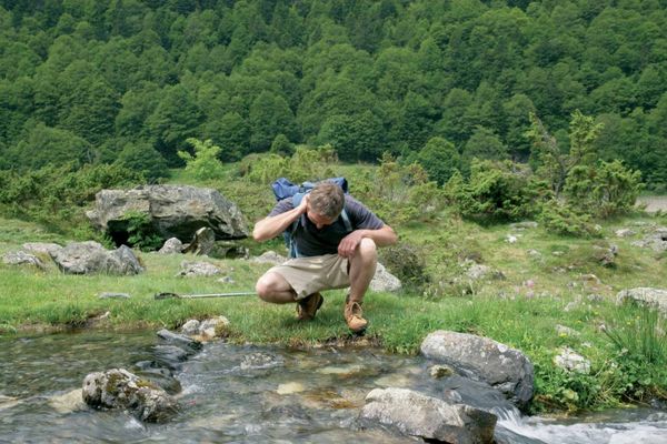
Firm footwear
Journey
Public transport:
Parking:
The next bus station is: Canach, op der Bréck
Parking:
parking spaces at the church

 This website uses technology and content from the Outdooractive Platform.