©Visit Luxembourg
Mosel Germany France

Auto-Pédestre hiking route Roodt-sur-Syre

Hunting Season 2025/26 — Check for hunts

Autumn is here, and that means hunting season has begun! From mid-October to January/February, hunters are active across the country. Stay safe by checking hunt dates in your area on our Map. 

Click on Map in the Header > Services > More > Hunting.

Starting point

Train station, Roodt-sur-Syre

Destination

Train station, Roodt-sur-Syre

Distance
10,81 km
Duration
2:45 h
Difficulty
medium
  • Condition
Highest point
307 Hm
Lowest point
233 Hm
Aggregated Ascent
195 Hm
Aggregated Descent
195 Hm
Circular routes Visit Luxembourg

Description

Refreshment stops available Dog-friendly

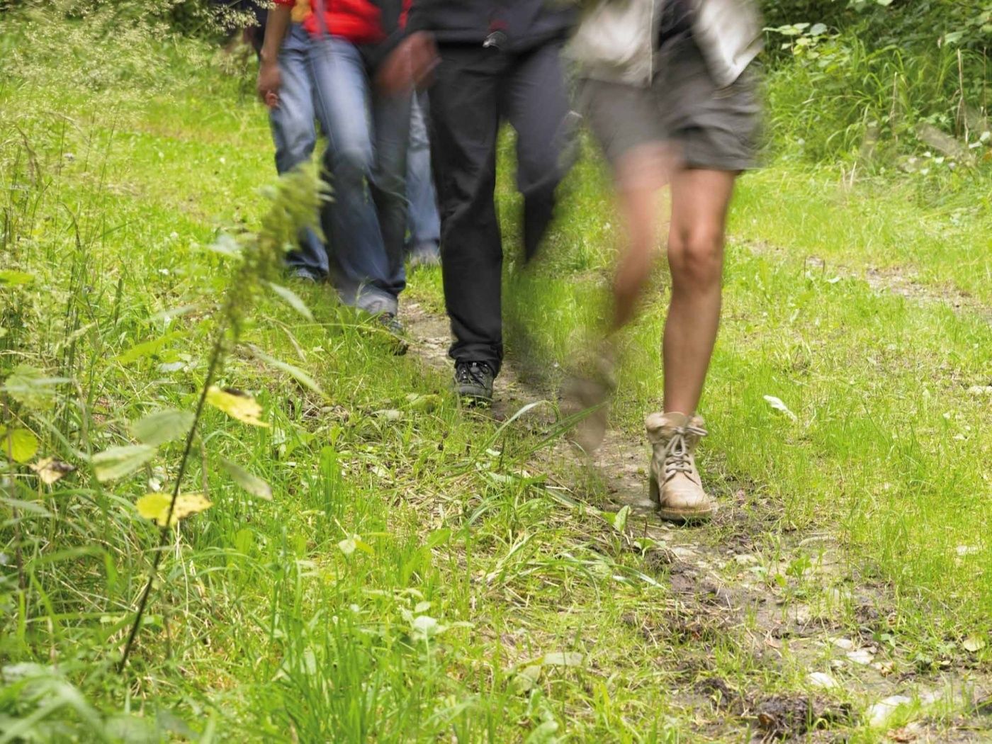
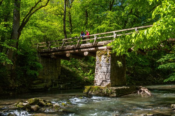
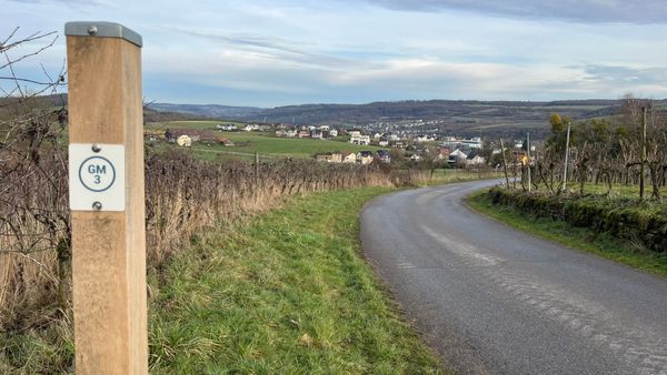
Take advantage of the shade of this route, which passes through the Riederbësch, Baurebësch forests and the Roman road Kiem, before passing fields and a country road on the way back.

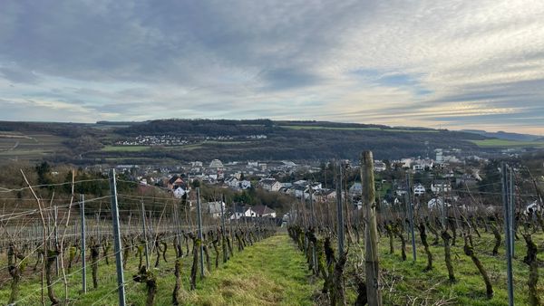
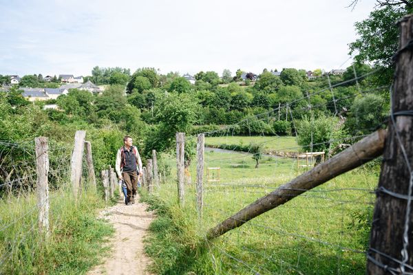
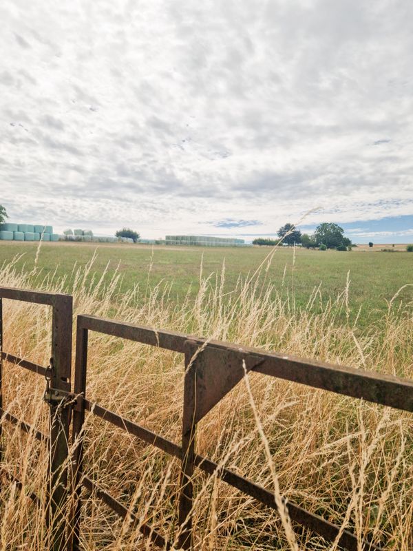
This extensive route through forests offers the perfect setting for a leisurely day. The path starts in the town center of Roodt / Syre, takes you briefly through the village and then ascends into the mixed forest Riederbësch. Following the forest paths, you pass two more forests until you reach the small village of Olingen. From there you walk briefly along the country road to Roodt / Syre and then turn right onto a paved field path along lush green fields that takes you back to the starting point.

Suggestions nearby

Auto-Pédestre hiking route Roodt-sur-Syre

  • Restaurant Rebecca
    Restaurant Rebecca
    Find out more

Similar hiking tours

©© Wanderbüro Saar-Hunsrück, Klaus-Peter Kappest, Unknown
Dream loops
Dream Loop Palmberg - Wine and Nature Trail
Distance: 9,11 km
Duration: 3:00 h
Difficulty: medium
Find out more
©Visit Luxembourg
Circular routes
Auto-Pédestre hiking route Grevenmacher
Distance: 8,00 km
Duration: 2:20 h
Difficulty: medium
Find out more
©Visit Moselle, Visit Luxembourg
Manternach-Lellig
Distance: 7,42 km
Duration: 2:10 h
Difficulty: medium
Find out more
©© Wanderbüro Saar-Hunsrück, Klaus-Peter Kappest, Visit Moselle
Dream loops
Traumschleife Manternacher Fiels (nature reserve)
Distance: 8,22 km
Duration: 2:30 h
Difficulty: medium
Find out more
©Visit Luxembourg
Distance trails
43 Station to Station Manternach - Mertert - Wasserbillig
Distance: 11,48 km
Duration: 3:15 h
Difficulty: medium
Find out more
©Visit Luxembourg
Circular routes
Wasserbillig E
Distance: 9,97 km
Duration: 2:50 h
Difficulty: medium
Find out more
©Visit Luxembourg
Circular routes
Manternach C
Distance: 10,38 km
Duration: 3:05 h
Difficulty: medium
Find out more
©Carlo Rinnen, Visit Luxembourg
Circular routes
Auto-Pédestre hiking route Wormeldange
Distance: 7,05 km
Duration: 2:05 h
Difficulty: medium
Find out more
©Michelle Bingen, Visit Moselle
Circular routes
Local hiking route SE2 - Around Bierg
Distance: 7,20 km
Duration: 1:45 h
Difficulty: medium
Find out more
outdooractive This website uses technology and content from the Outdooractive Platform.