Hunting Season 2026/27 — Check for hunts

Autumn is here, and that means hunting season has begun! From mid-October to January/February, hunters are active across the country. Stay safe by checking hunt dates in your area on our Map. 

Click on Map in the Header > Services > More > Hunting.

Starting point

Betzdorf station - 7, Rue de la Gare L- 6832 Betzdorf

Destination

Betzdorf station - 7, Rue de la Gare L- 6832 Betzdorf

Distance
9,98 km
Duration
2:45 h
Difficulty
medium
  • Condition
Highest point
342 Hm
Lowest point
228 Hm
Aggregated Ascent
213 Hm
Aggregated Descent
213 Hm
Circular routes Visit Luxembourg

Description

Refreshment stops available

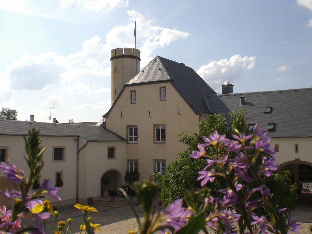
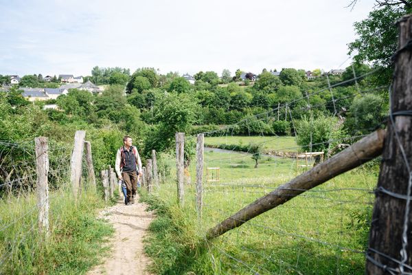
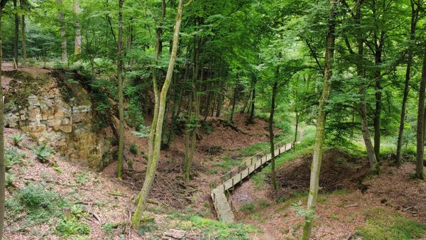
This route leads through the Junkerbësch and past Betzdorf Castle, headquarters of the satellite operator SES S.A.

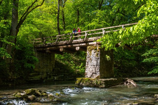
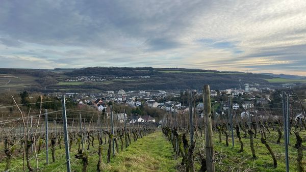
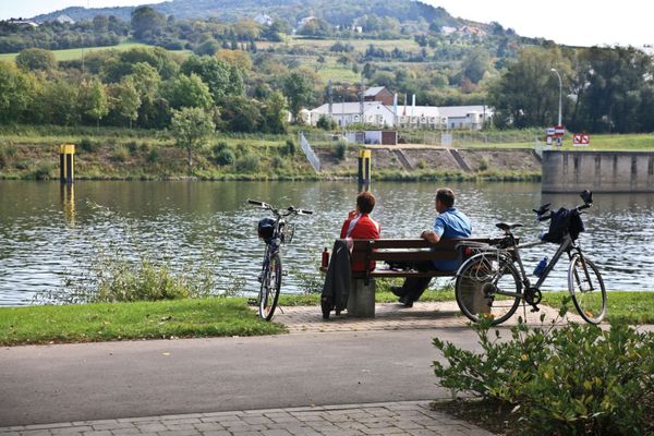
From the station, walk cross-country and through the Junkerbësch to Betzdorf Castle. Then descend to the Syr. Across fields, you return to Betzdorf. Highlights of this route include the extensive mixed deciduous forests and the antenna system at Betzdorf Castle, former grand ducal residence.

Current conditions

Source: Visit Luxembourg, Published: 2026-10-15
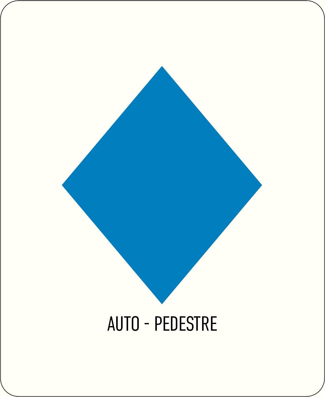
Fermeture du circuit Auto-Pédestre Betzdorf
Closure: The Auto-Pédestre hiking trail Betzdorf is

closed until approximately the end of February 2027

due to forestry work.

Alternative hiking trails in the area:

- Auto-Pédestre hiking trail Roodt-sur-Syre 

The closure also applies on weekends!

Thank you for your understanding and cooperation.

Duration: +/- end of February 2027.

Similar hiking tours

©© Wanderbüro Saar-Hunsrück, Klaus-Peter Kappest, Visit Moselle
Dream loops
Traumschleife Manternacher Fiels (nature reserve)
Distance: 8,22 km
Duration: 2:30 h
Difficulty: medium
Find out more
©Visit Luxembourg
Circular routes
Local hiking trail GM2 - Gruussfooscht/Haard
Distance: 6,93 km
Duration: 2:00 h
Difficulty: medium
Find out more
©Visit Luxembourg
Circular routes
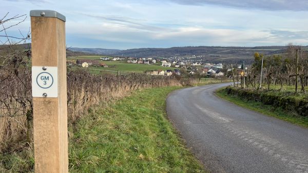
Local hiking trail GM3 - Groësteen
Distance: 8,37 km
Duration: 2:30 h
Difficulty: medium
Find out more
©Visit Luxembourg
Circular routes
Local hiking trail MN1 - Päschtkräiz/Méchelsbësch
Distance: 10,71 km
Duration: 2:45 h
Difficulty: medium
Find out more
©© Wanderbüro Saar-Hunsrück, Klaus-Peter Kappest, Unknown
Dream loops
Dream Loop Palmberg - Wine and Nature Trail
Distance: 9,11 km
Duration: 3:00 h
Difficulty: medium
Find out more
©Visit Luxembourg
Circular routes
Auto-Pédestre hiking route Grevenmacher
Distance: 8,00 km
Duration: 2:20 h
Difficulty: medium
Find out more
©Visit Luxembourg
Manternach-Lellig
Distance: 7,42 km
Duration: 2:10 h
Difficulty: medium
Find out more
©Visit Luxembourg
Distance trails
43 Station to Station Manternach - Mertert - Wasserbillig
Distance: 11,48 km
Duration: 3:15 h
Difficulty: medium
Find out more
©ANF - Pépinière domaniale de Flaxweiler, ANF - Pépinière domaniale de Flaxweiler
Thematic paths
Widdebierg Nature Trail
Distance: 6,51 km
Duration: 1:45 h
Difficulty: medium
Find out more
outdooractive This website uses technology and content from the Outdooractive Platform.