Description
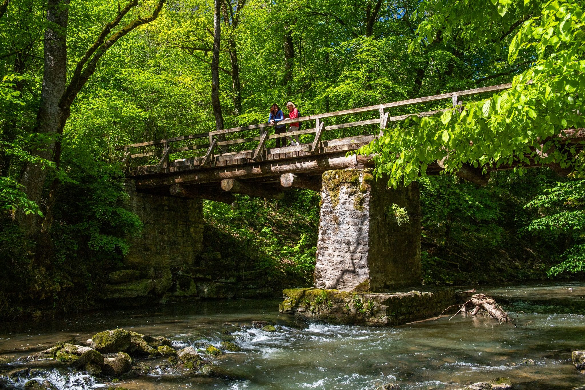
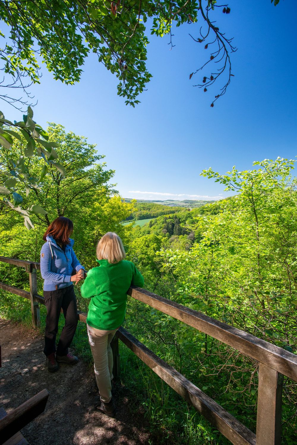
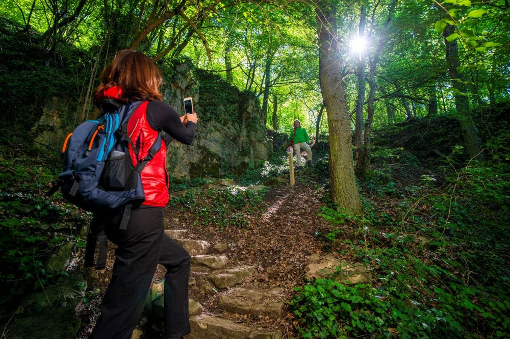
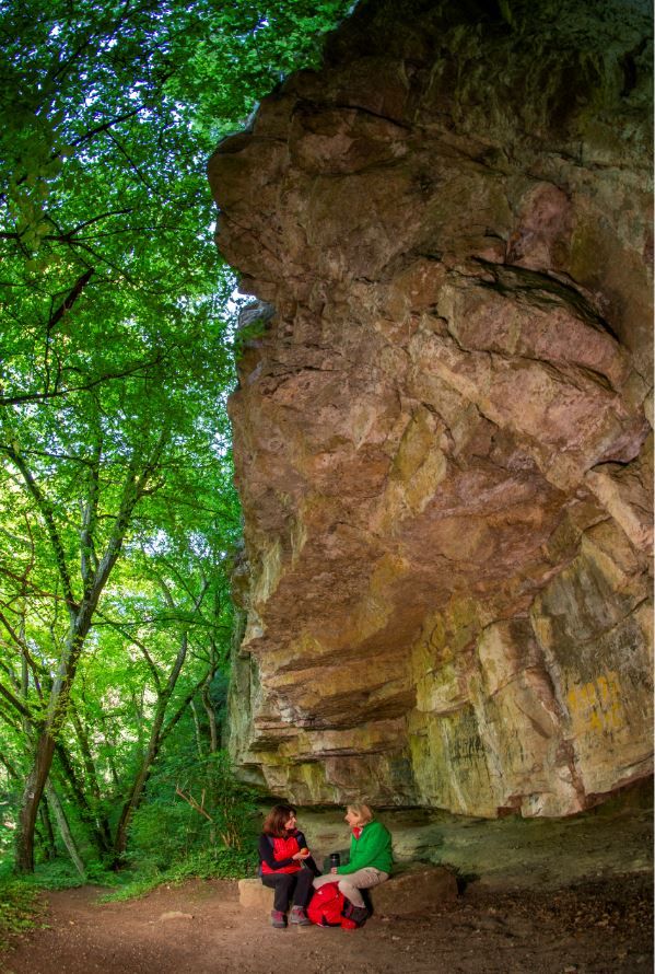
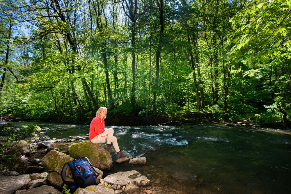
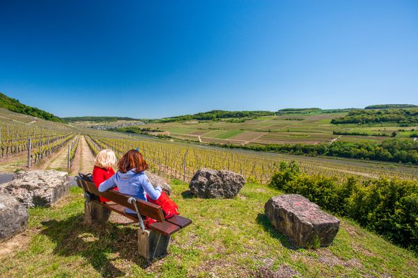
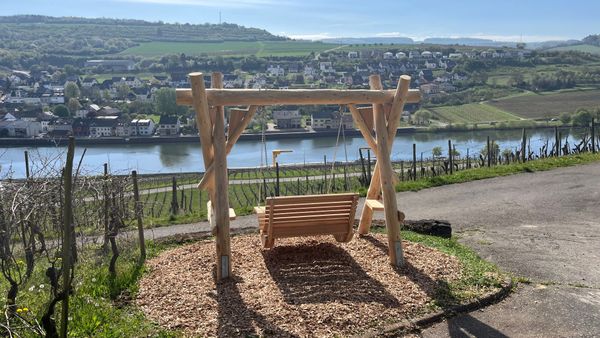
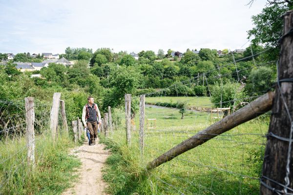
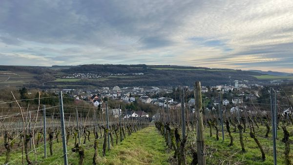
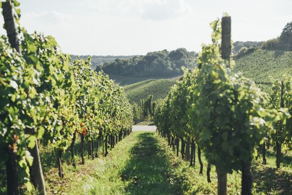
This exciting trail leads mostly through the Manternacher Fiels nature reserve. From the starting point at Burfeld, you climb up into the nature reserve and enter an impressive ravine forest. The location of the forest on the shady slope of the "Fielsmillen" ensures high humidity and coolness. Deadwood lies above a sea of limestone boulders, all of which are covered in thick layers of moss. The remains of an old mill can be found in the Syr valley. Above the former timber mill, in the middle of the forest, is the Manternacher Fiels vineyard. A little later, the mighty limestone cliffs are the next destination. The rocks, which are covered in ivy, lichen and moss, tower up to 50 metres high. Behind the Michaelslay, over 100 steps carved into the rock lead further upwards. The next highlight is the viewpoint on the Lelliger Plateau, followed by a delightful descent through former vineyard terraces, where the old steps of the vineyard walls are used for hiking.
Experience points: 96

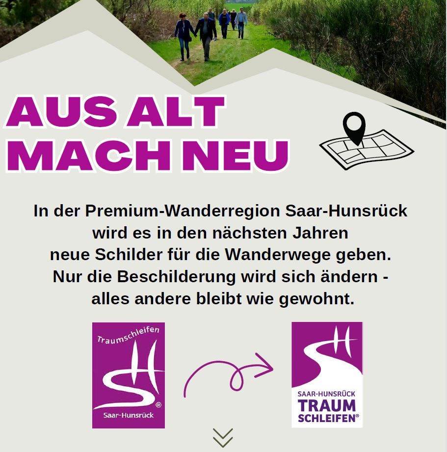
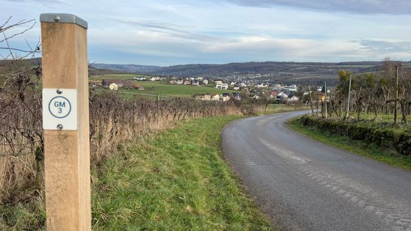
Signposting

Directions
The third premium trail in the Luxembourg Moselle region is extremely varied. Since May 2015, the trail around Manternach has been one of the most eventful and highest-quality certified trails to date. The hike in the "Manternacher Fiels" starts in the middle of the village's nature reserve. From the "starting point at Burfeld" you climb up into the nature reserve and pass an impressive gorge forest.
From there, you climb through the huge rock layer at the Michelslay. In between are extraordinary distant views and a vineyard in the middle of the forest. Return via the steps of the old vineyard walls to the starting point in Manternach.
Equipment
Some of the Traumschleifen have steep, difficult and, in rainy or winter weather, slippery passages. Therefore, hiking boots, surefootedness and good physical condition are essential prerequisites for hiking this premium circular trail.
Journey
By train from Luxembourg city and Trier (D)
Train station Manternach
Getting there:
A8 Saarbrücken-Luxembourg, exit Schengen/Remich, along the Moselle via Remich to Grevenmacher and follow the signs to Manternach.
Or from A1 Trier-Luxembourg, exit Mertert, direction Wasserbillig, follow the signs to Manternach.
Navigation: L-6850 Manternach
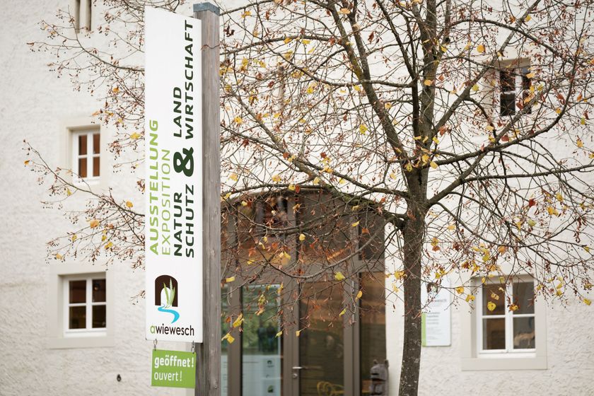
Parking:
Parking spots next to "A Wiewesch" and in front of the train station
L- 6850 Manternach


 This website uses technology and content from the Outdooractive Platform.