Description
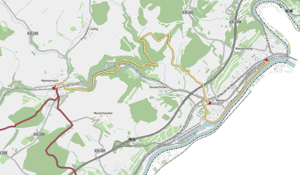
43 Station to Station Manternach - Mertert - Wasserbillig
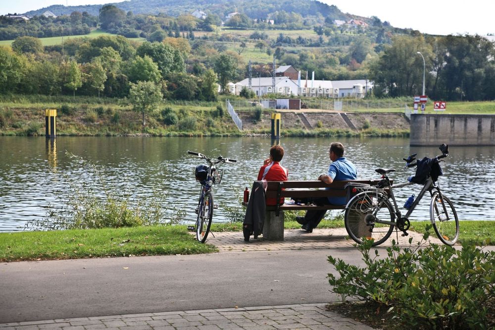
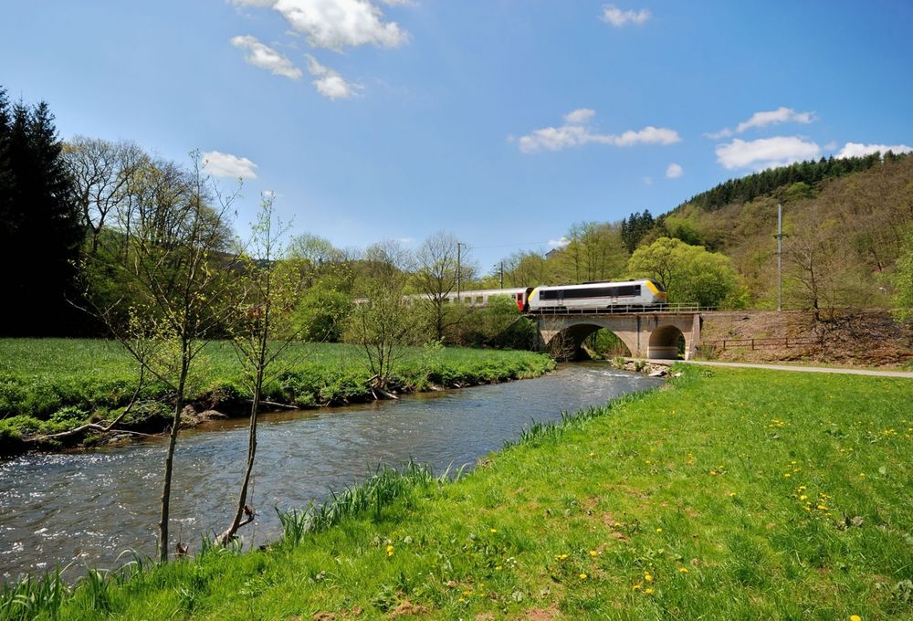
We walk eastwards out of the village and down to the Syr river. On the national hiking trail "Sentier de la Moselle" (marking: yellow rectangle) we walk along the river before ascending the wooded slope shortly before the Fielsmillen. Through the Schlammbaach valley, over the Foolgruet, and across the motorway we reach Mertert. We cross the railway tracks, walk through the park and along the Syr until reaching the Moselle bank. Along the riverside promenade, we arrive at the destination of our hike: the station of Wasserbillig, which we reach via an underpass.
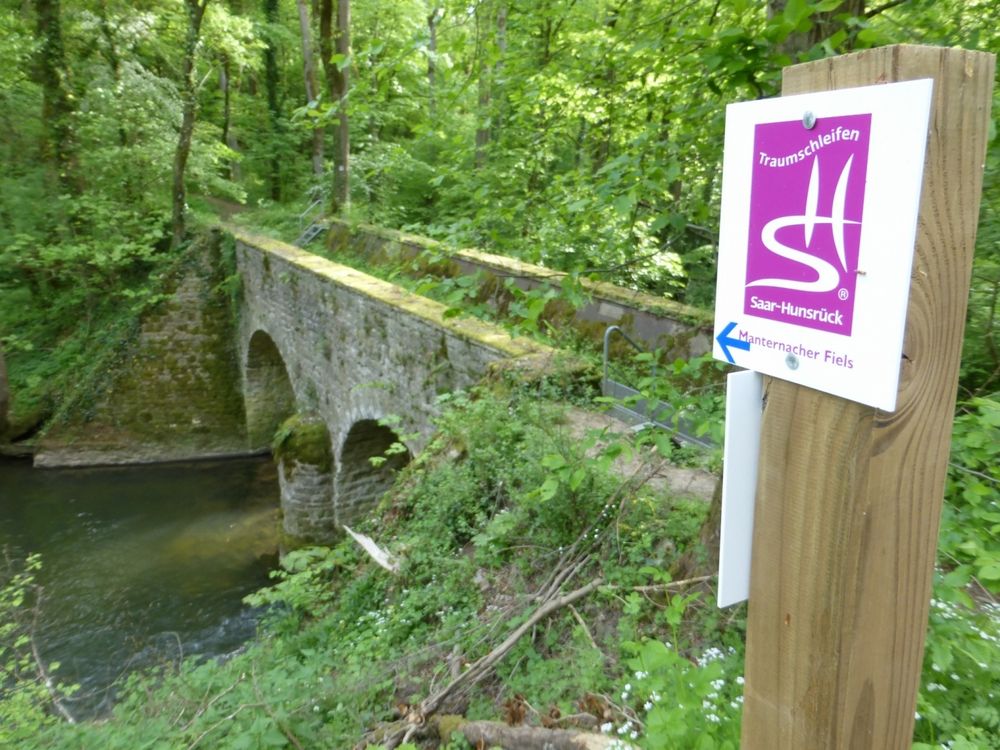
Signposting

Directions
The hiking trail is marked in both directions. Please follow the white-red marking signs.
Journey
Use the free public transport and travel climate-friendly by bus and train. At all start and end points of the CFL hiking routes, there is a station.
Parking:
Car park Station Manternach


 This website uses technology and content from the Outdooractive Platform.