Circular routes Visit Luxembourg
Description
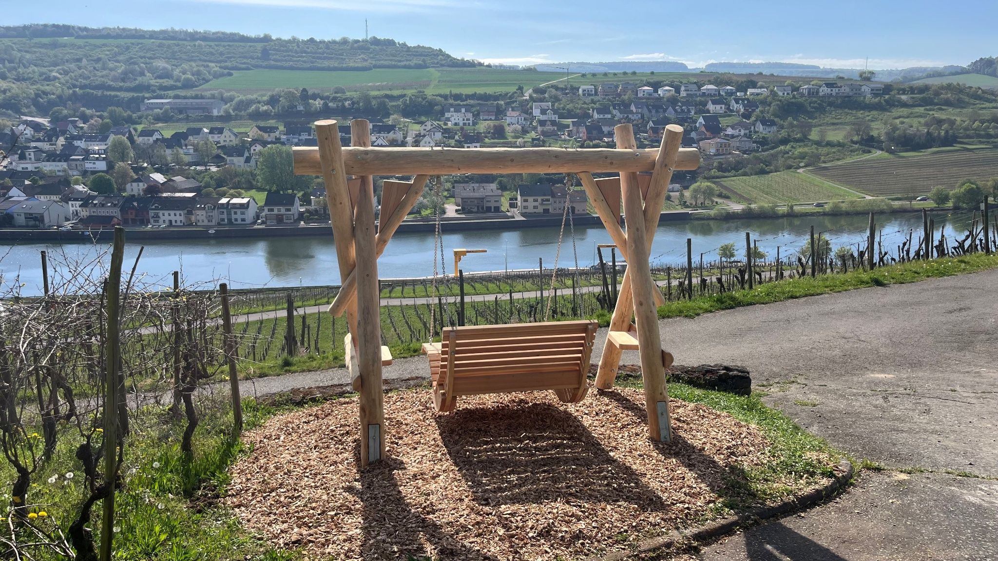
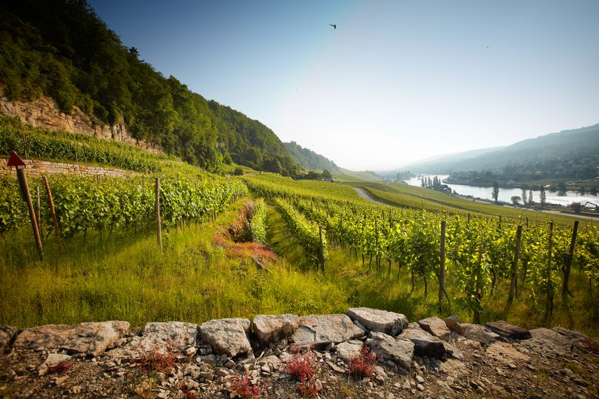
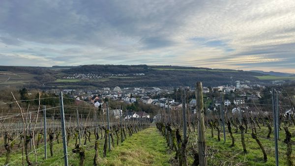
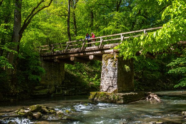
Scenic circular route with some landscape highlights and great panoramic views.
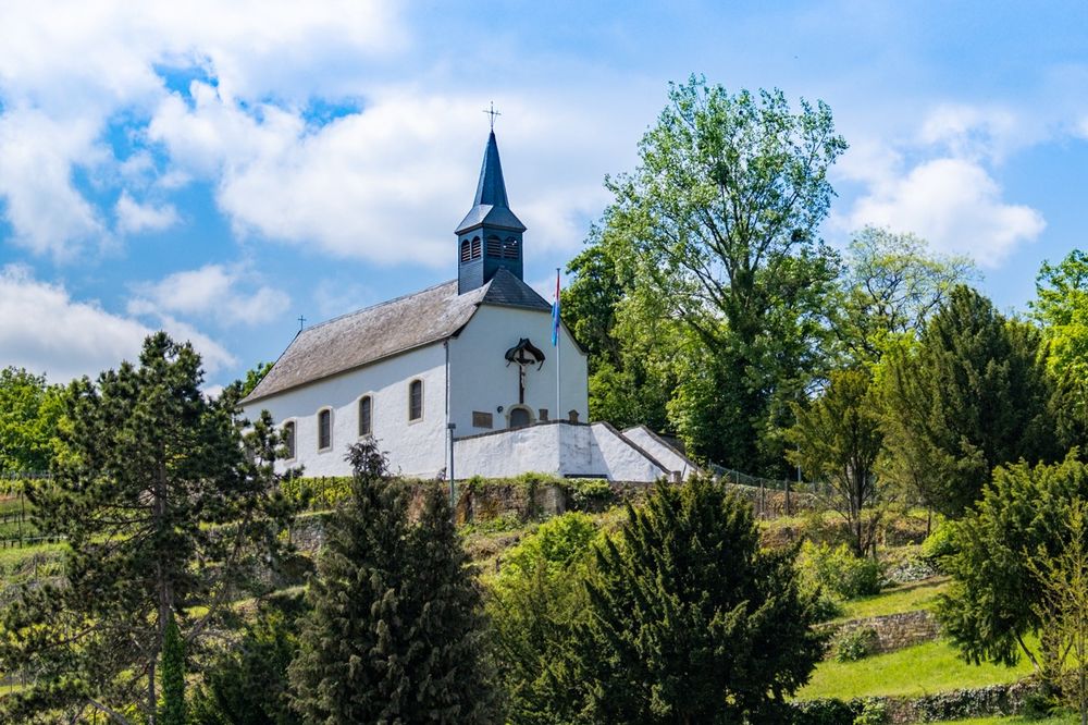
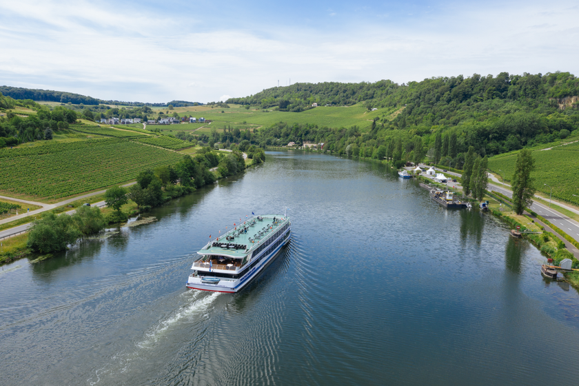
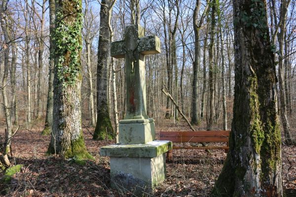
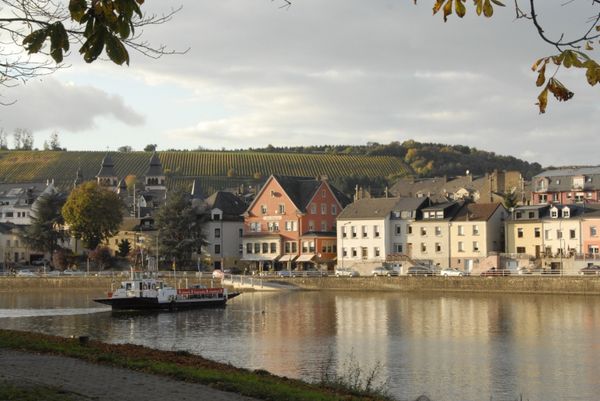
This route runs along the Moselle to the valley of the Kelsbaach, where you turn back and climb up a little further. From this height, there is a fantastic view of the Moselle river. Then the path continues parallel to the river. After passing the Kreuzkapelle, descend the steps of the Way of the Cross to return to the starting point.
Directions
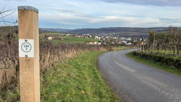
Follow the blue lozenge on a white background, the path is marked in both directions.
Journey
Public transport:
Parking:
Nearest bus stop: Grevenmacher, Gare routière
Parking:
Parking lot Quai MS Princesse Marie-Astrid


 This website uses technology and content from the Outdooractive Platform.