© Visit Luxembourg
Mosel Germany France

Wasserbillig F

Starting point

Moselstraße 1 D-54308 Wasserbillig

Destination

Moselstraße 1 D-54308 Wasserbillig

Distance
8,71 km
Duration
2:15 h
Difficulty
easy
  • Condition
Highest point
248 Hm
Lowest point
130 Hm
Aggregated Ascent
132 Hm
Aggregated Descent
133 Hm
Circular routes Visit Luxembourg

Description

Wasserbillig F

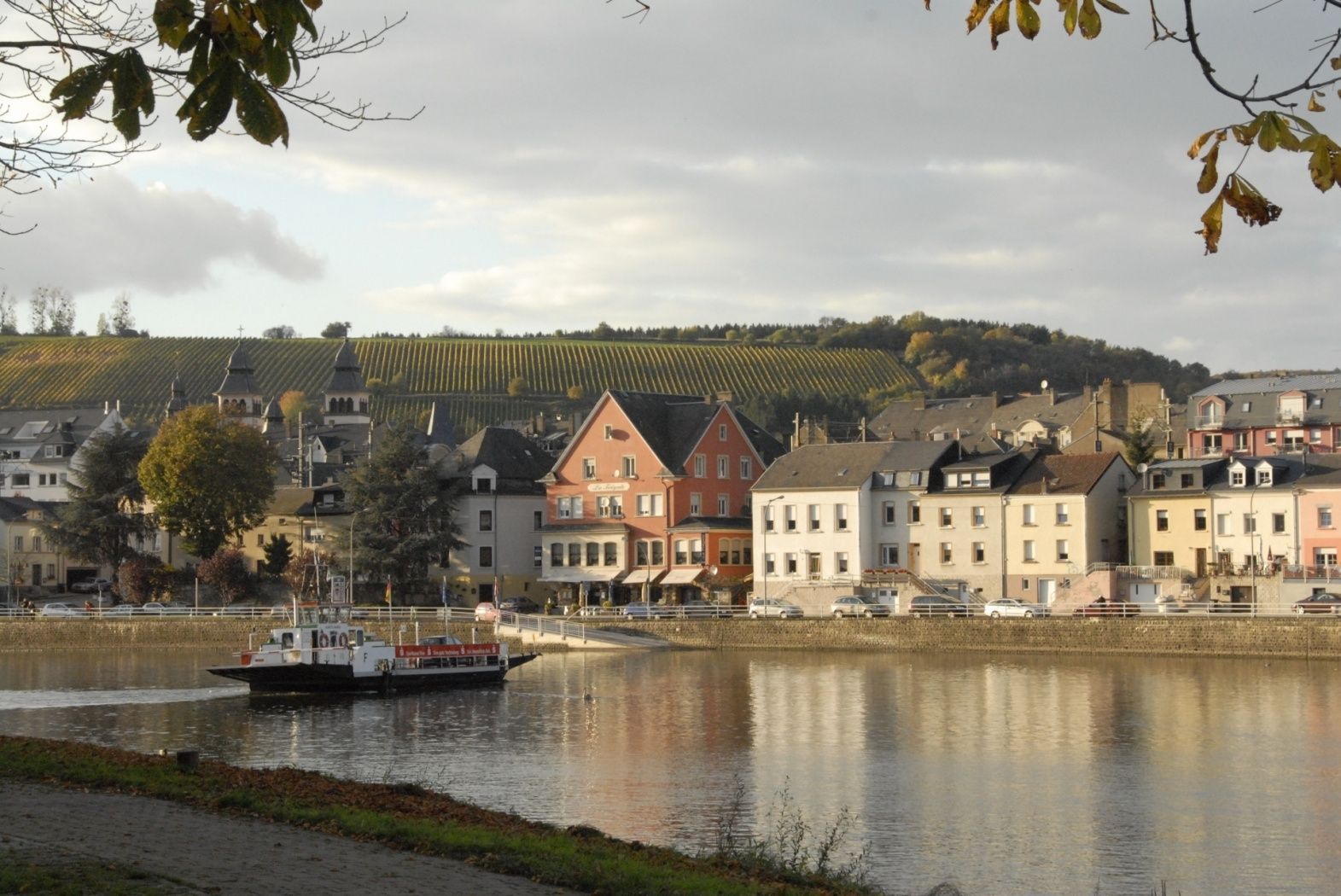
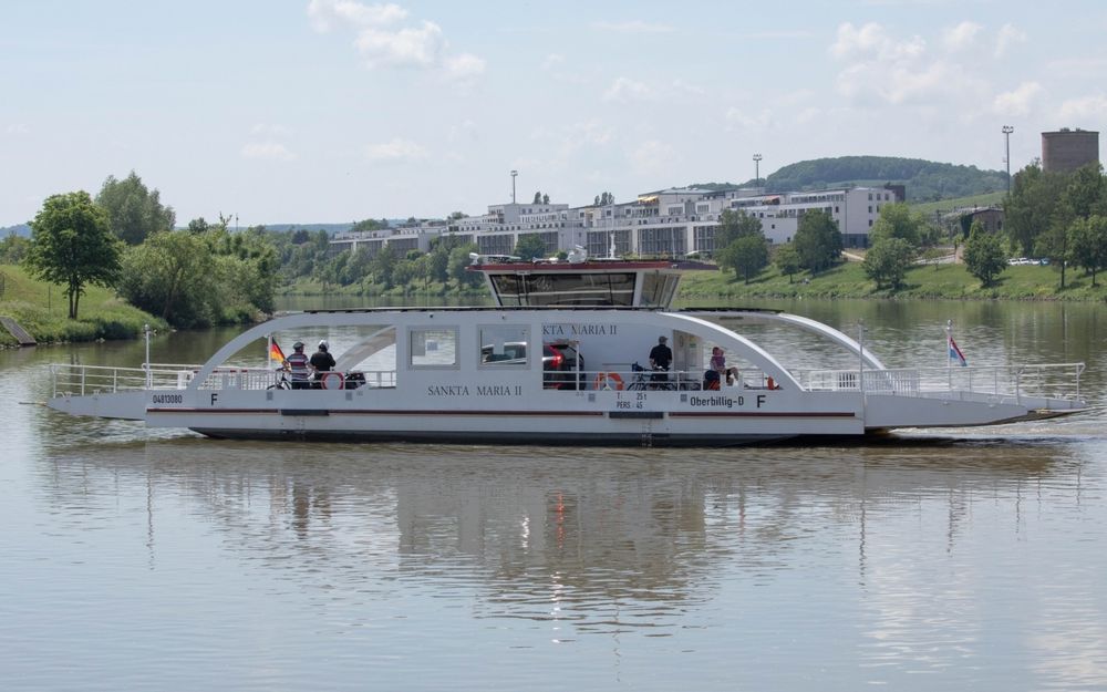
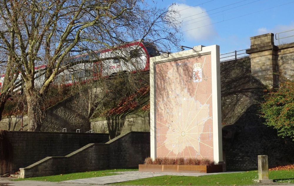
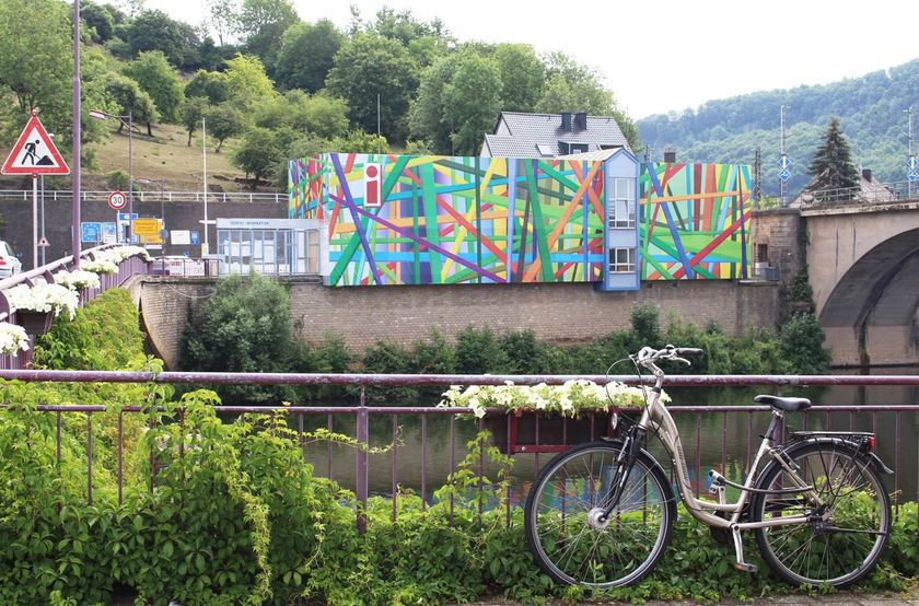
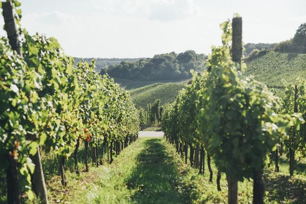
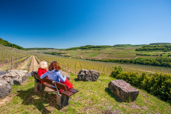
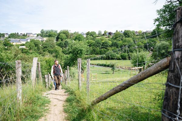
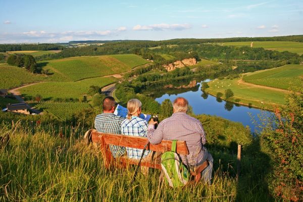
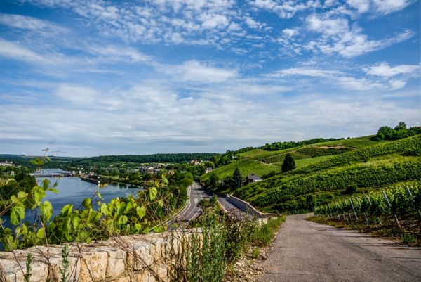
Passing the lowest point of the country, the Spatz, you cross the railway bridge and arrive in Germany next to the tourist information. It goes down to the Moselle hiking trail, then to the main road and up into the vineyards to the viewpoint op Kloop. Afterwards down to Mesenich, along the Sauer to Langsur and over the border bridge back to the starting point.

Suggestions nearby

Wasserbillig F

  • Deutsch-Luxemburgische Tourist Info
    Deutsch-Luxemburgische Tourist Info
    Find out more
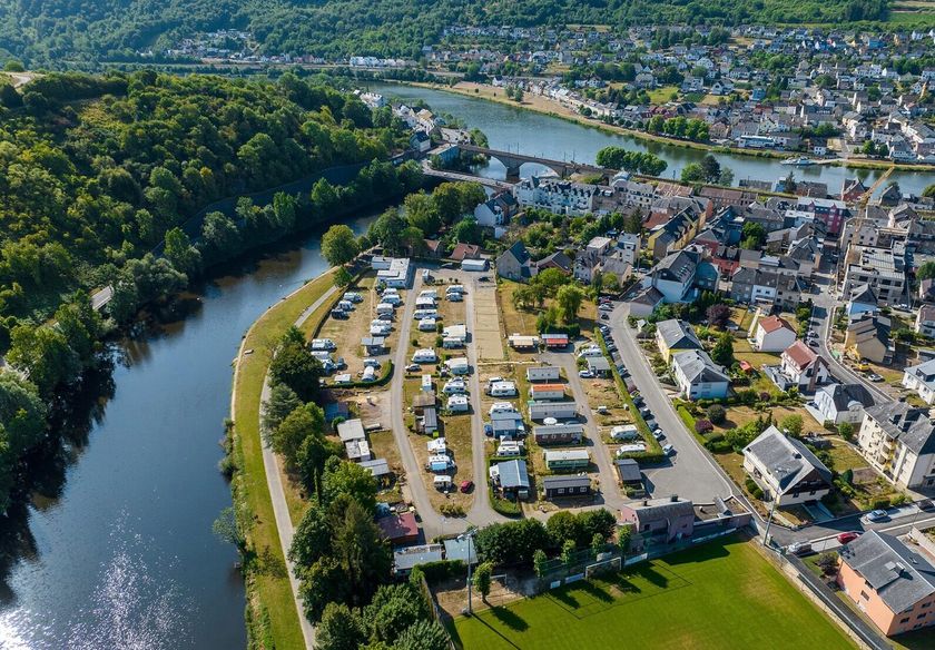
  • Camping Schützwiese
    AccessibleSituated in the centre of townPets allowedWifion the waterfront / near the riverBicycle rental
  • © Camping Schützwiese
    Camping car spaces Camping Schützwiese

Similar hiking tours

© Fernand Morbach, Visit Luxembourg
Circular routes
Bësch Tour - RE1
Distance: 7,63 km
Duration: 2:00 h
Difficulty: easy
Find out more
© Visit Luxembourg
Circular routes
Circular walk Machtum E
Distance: 3,11 km
Duration: 0:57 h
Difficulty: easy
Find out more
© Visit Luxembourg
Circular routes
Wuetelbierg
Distance: 5,78 km
Duration: 1:25 h
Difficulty: easy
Find out more
© Paul Hilbert, Visit Luxembourg
Cultural trail Stadtbredimus
Distance: 1,75 km
Duration: 0:26 h
Difficulty: easy
Find out more
© Visit Luxembourg
Circular walk "Historical Trail Loop Ehnen"
Distance: 1,03 km
Duration: 0:17 h
Difficulty: easy
Find out more
© Visit Luxembourg
Forest education trail Rackeweier
Distance: 3,58 km
Duration: 0:57 h
Difficulty: easy
Find out more
© Visit Luxembourg
Circular routes
Auto-pédestre trail Schwebsange
Distance: 4,95 km
Duration: 1:25 h
Difficulty: easy
Find out more
© Visit Luxembourg
Distance trails
42 Station to station Betzdorf - Manternach
Distance: 7,40 km
Duration: 1:55 h
Difficulty: easy
Find out more
© Visit Luxembourg
Thematic paths
Forest discovery trail Strombierg
Distance: 3,48 km
Duration: 1:15 h
Difficulty: easy
Find out more