Circular routes Visit Luxembourg
Description
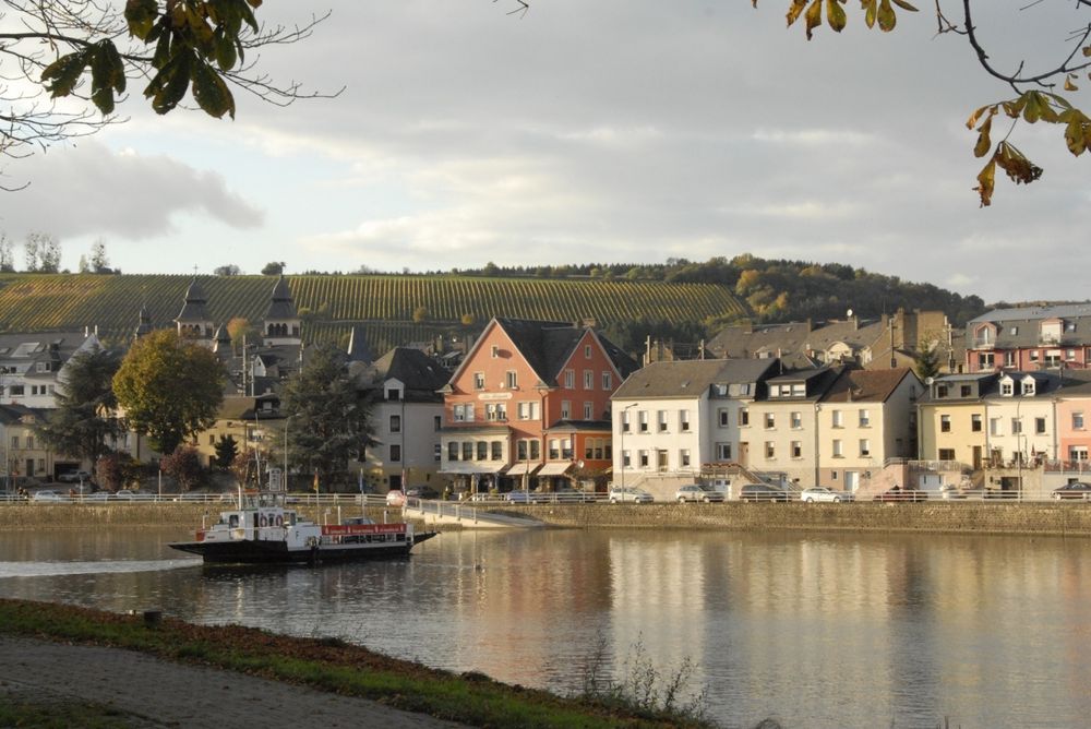
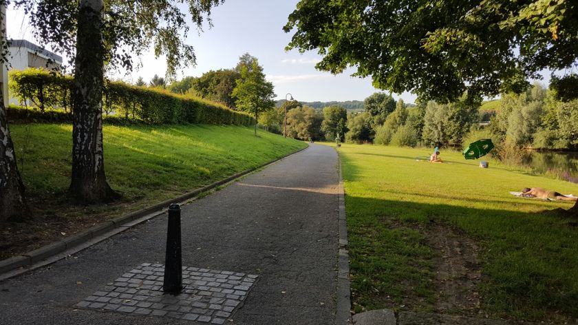
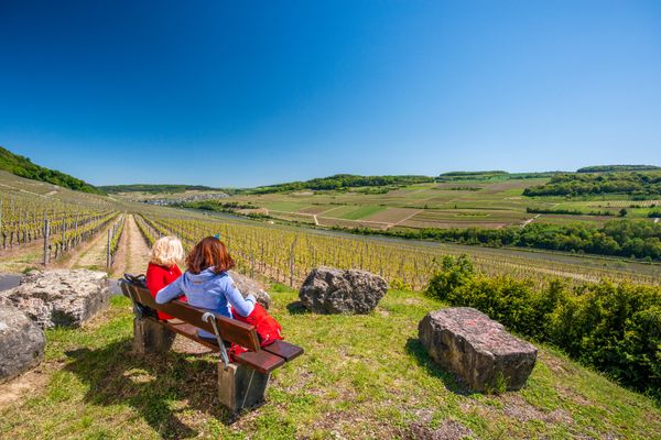
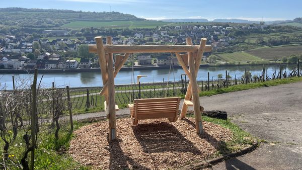
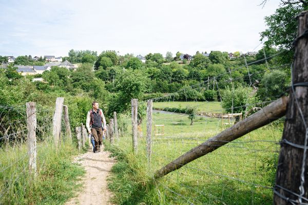
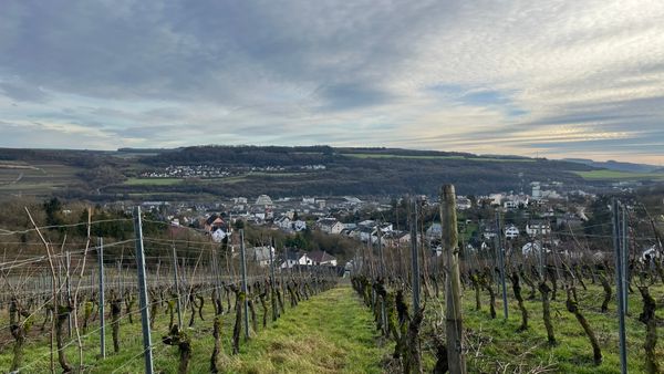
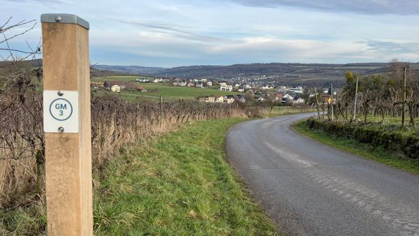
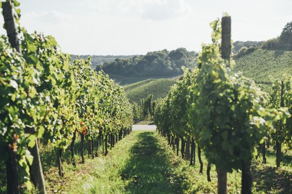
Extensive cultivated fields, great panoramic views, and a pleasant walk along the Moselle promenade make this route a varied experience.
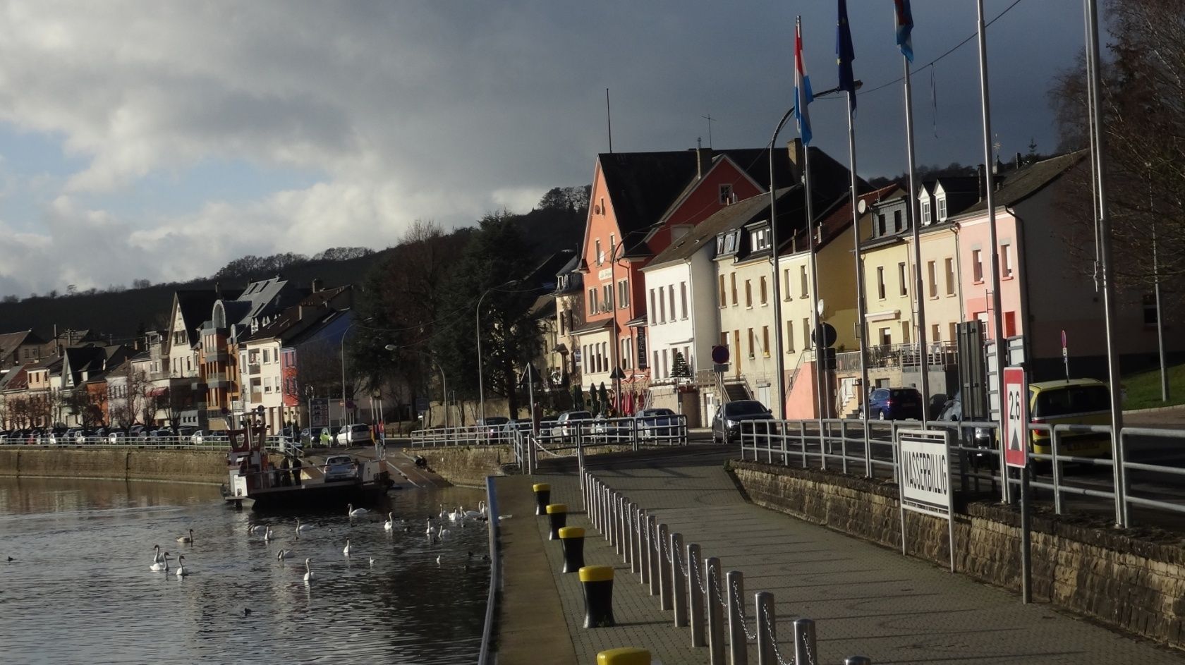
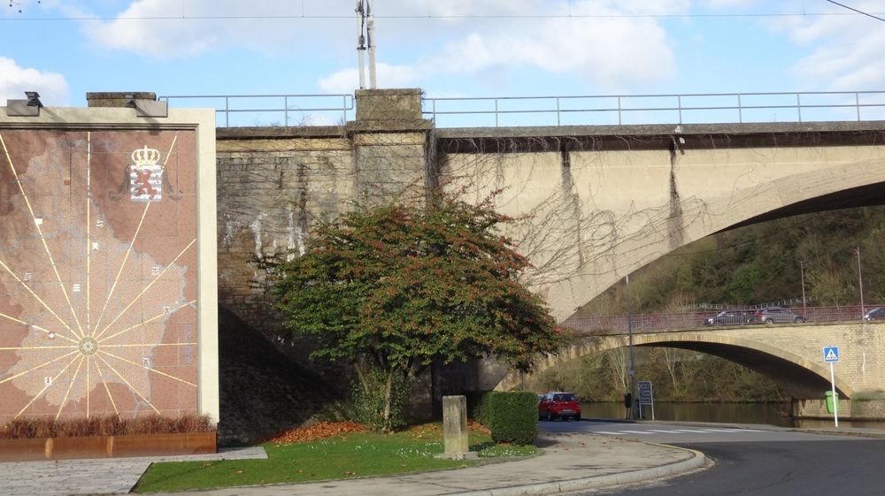
Extensive cultivated fields, great panoramic views, and a pleasant walk along the Moselle promenade make this route a varied fun experience for the whole family. Over the lowest point of the country, the Spatz, along the Sauer, you reach a viewpoint via stairs. Further uphill, you reach the motorway feeder, cross the Sernigerbach, and arrive at Mertert. Here you cross the Almauer residential area, the pedestrian and railway bridge. From Mertert, you follow the promenade along the Moselle river back to the starting point.
Journey
Public transport:
Parking:
Bus stop: Wasserbillig Op der Bréck
Parking:
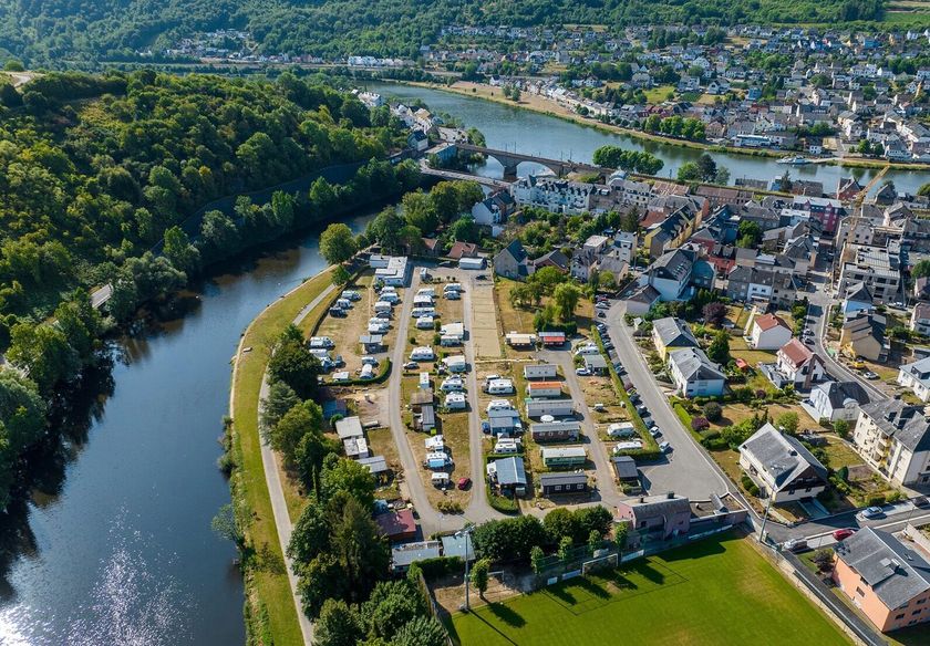
Parking spaces along the Moselle


 This website uses technology and content from the Outdooractive Platform.