© Visit Luxembourg
Mosel Germany France

Manternach-Lellig

Hunting Season 2024/25 — Check for hunts before hiking

Autumn is here, and that means hunting season has begun! From mid-October to January/February, hunters are active across the country. Stay safe by checking hunt dates in your area on our Map. 

Click on Map in the Header > Services > More > Hunting.

Starting point
A Wiewesch 12, Syrdallstrooss Manternach
Destination
A Wiewesch 12, Syrdallstrooss Manternach
Distance
7,42 km
Duration
2:10 h
Difficulty
medium
  • Condition
Highest point
299 Hm
Lowest point
186 Hm
Aggregated Ascent
119 Hm
Aggregated Descent
119 Hm
Visit Luxembourg

Description

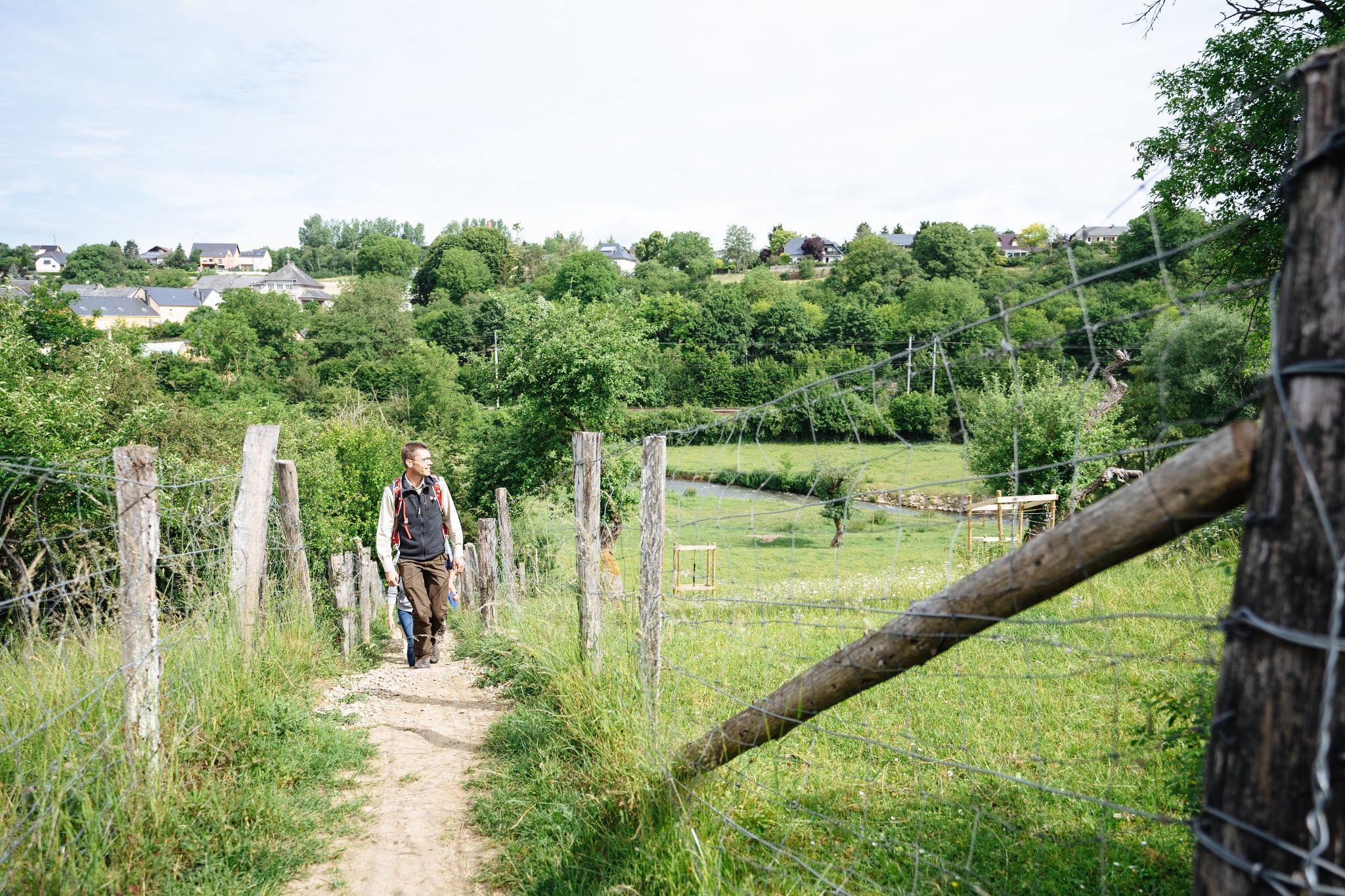
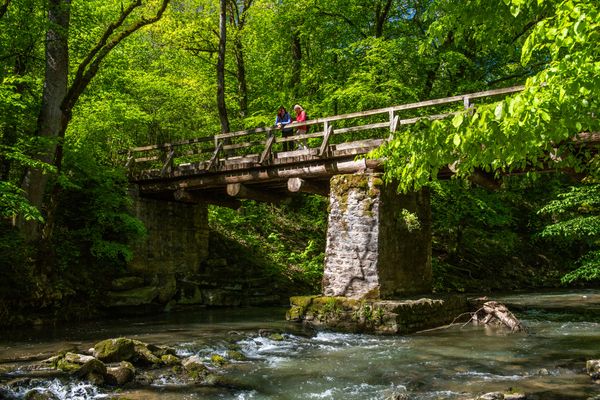
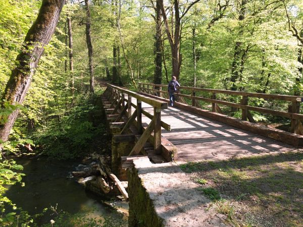
After a short distance walk you are in the natural forest reserve Manternacher Fiels before you reach Lellig over the plateau.

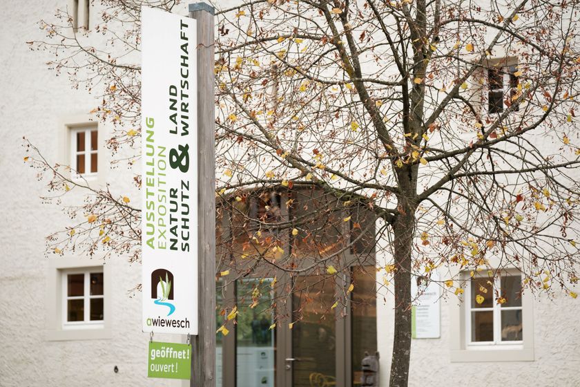
The nature conservation centre A Wiewesch in the heart of the village of Manternach is both the starting and arrival point of the 7 km long nature trail ANF N°2 Manternach-Lellig. In the nature conservation centre, the topic of "nature conservation & agriculture" is thematised using illustrative examples. Admission is free.

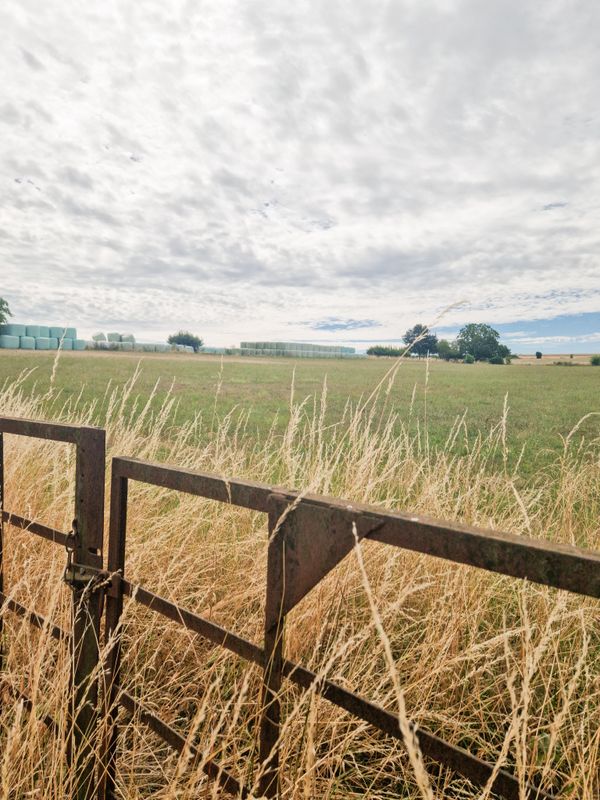
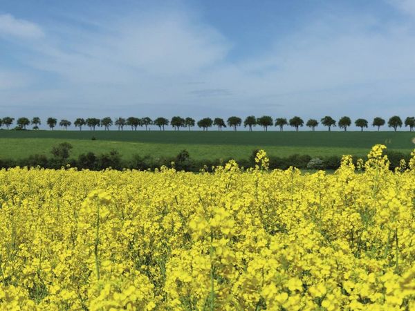
The trail leads you through the cultural landscape, which has been created by agricultural activities. Among other things, you will be introduced to grazing projects that optimally combine ecology and economy due to extensive land use. On a short stretch you will be in the Manternacher Fiels natural forest reserve before you reach Lellig via the plateau. In addition, the trail runs along various streams and orchards back to Manternach.

Suggestions nearby

Manternach-Lellig

  • Nature reserve "Manternacher Fiels" - A Wiewesch
    Nature reserve "Manternacher Fiels" - A Wiewesch
    Find out more

Similar hiking tours

© © Wanderbüro Saar-Hunsrück, Klaus-Peter Kappest, Visit Moselle
Dream loops
Traumschleife Manternacher Fiels
Distance: 9,57 km
Duration: 3:30 h
Difficulty: medium
Find out more
© © Wanderbüro Saar-Hunsrück, Klaus-Peter Kappest, Unknown
Dream loops
Traumschleife Wein- und Naturpfad Palmberg
Distance: 9,03 km
Duration: 2:50 h
Difficulty: medium
Find out more
© Visit Luxembourg
Circular routes
Auto-pédestre trail Grevenmacher
Distance: 8,02 km
Duration: 2:20 h
Difficulty: medium
Find out more
© Paul Hilbert, Visit Luxembourg
Circular routes
Auto-pédestre trail Stadtbredimus
Distance: 12,12 km
Duration: 3:18 h
Difficulty: medium
Find out more
© Visit Luxembourg
Circular routes
Auto-pédestre trail Schwebsange
Distance: 5,47 km
Duration: 1:33 h
Difficulty: medium
Find out more
© Commune de Stadtbredimus, Visit Luxembourg
Circular walk "Wine, KulTour & Scenery in the Pure State"
Distance: 6,85 km
Duration: 1:55 h
Difficulty: medium
Find out more
© Visit Luxembourg
Distance trails
National hiking trail "Moselle"
Distance: 59,68 km
Duration: 16:50 h
Difficulty: medium
Find out more
© Visit Luxembourg
Distance trails
43 Station to station Manternach - Mertert - Wasserbillig
Distance: 11,29 km
Duration: 3:15 h
Difficulty: medium
Find out more
© Visit Luxembourg
Distance trails
National hiking trail "Schengen-Hellange"
Distance: 25,65 km
Duration: 6:55 h
Difficulty: medium
Find out more