Circular routes Visit Luxembourg
Description
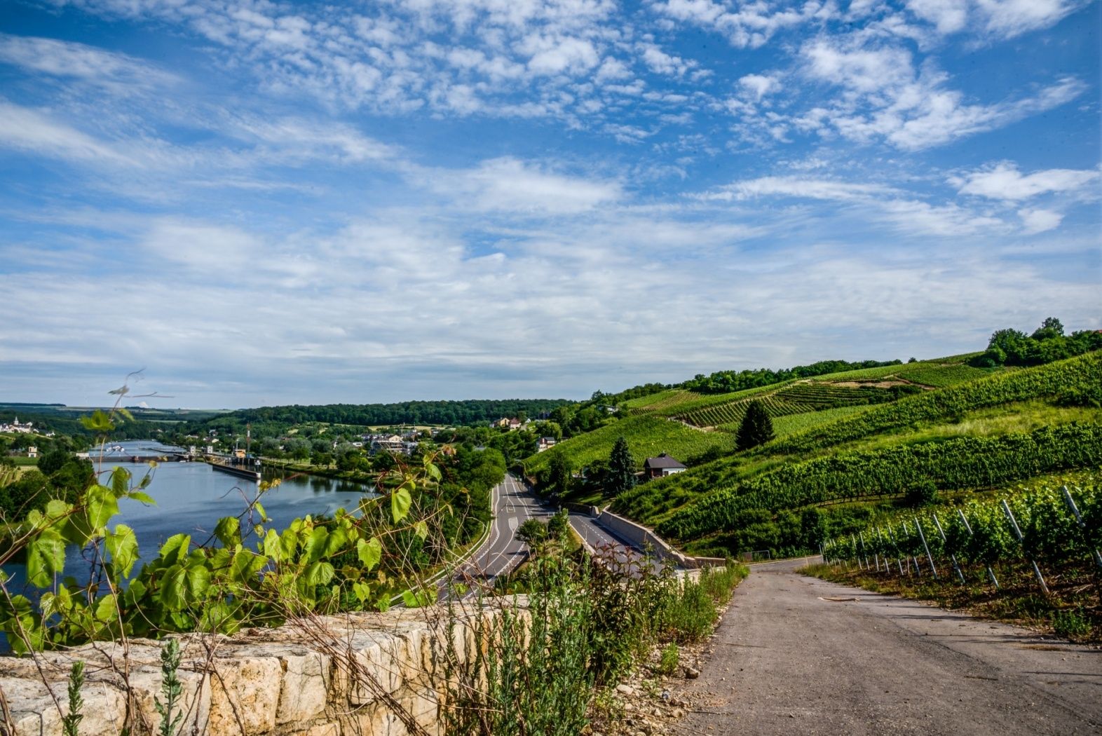
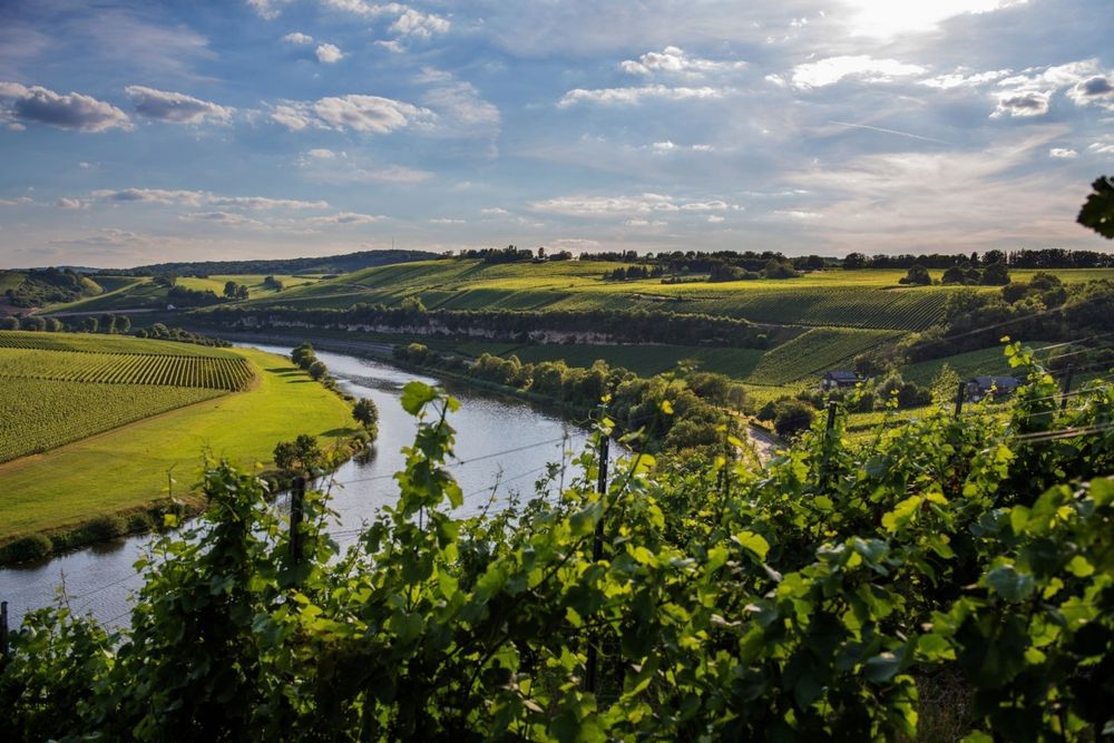
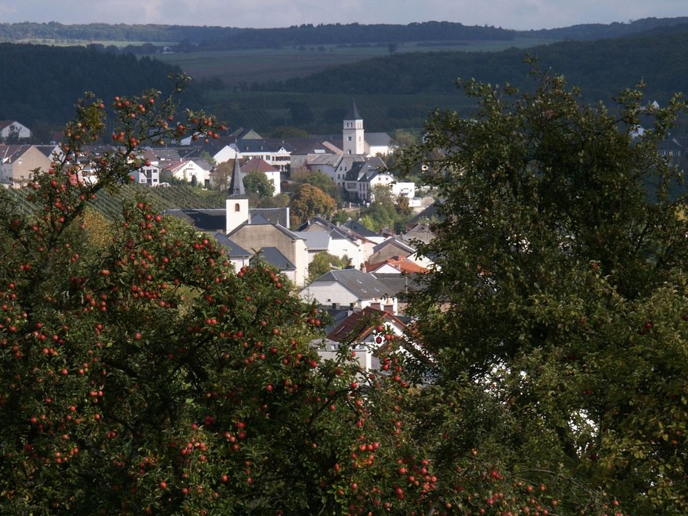
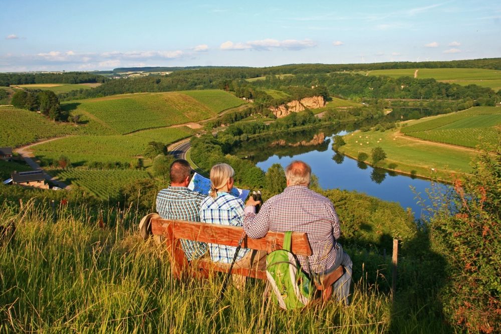
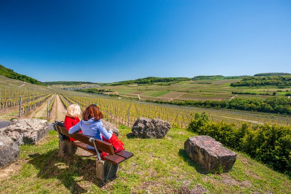
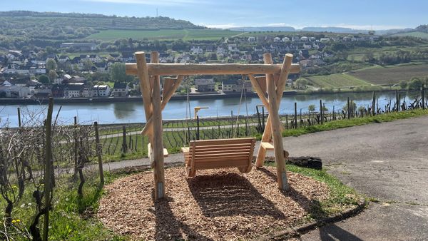
Stadtbredimus circular hiking route
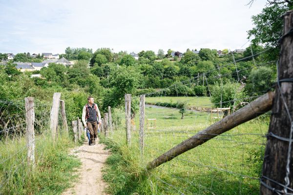
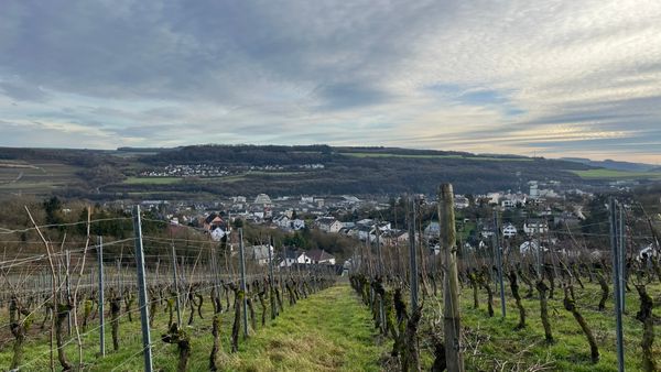
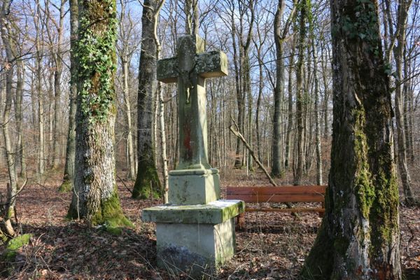
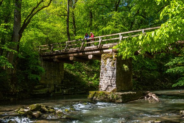
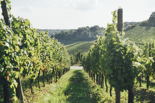
We first follow the route of the national hiking trail "Sentier de la Moselle" into the vineyards. Then we walk through the Briedemësser Bësch to Greiveldange. We hike through the village, past Hëttermillen, back up into the vineyards, and return to Stadtbredimus.
Signposting

Directions
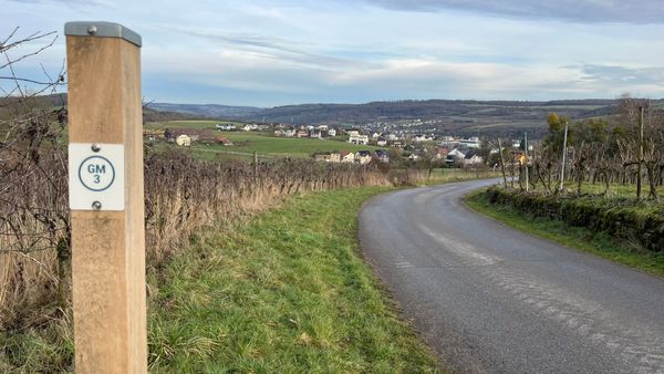
Please follow the blue lozenge on white background; the route is marked in both directions.
Journey
Public transport:
Parking:
Nearest bus stop: Stadtbredimus Schleis
Parking:
A parking lot is located directly at the starting point.


 This website uses technology and content from the Outdooractive Platform.