Description
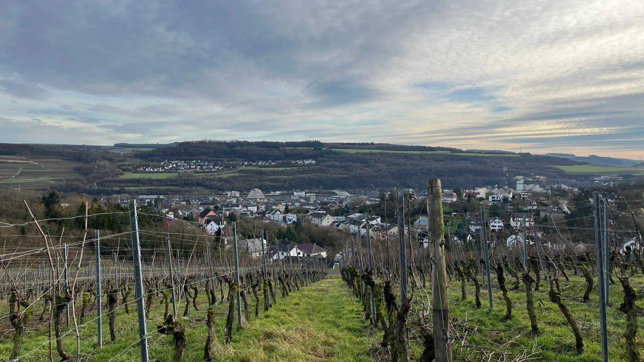
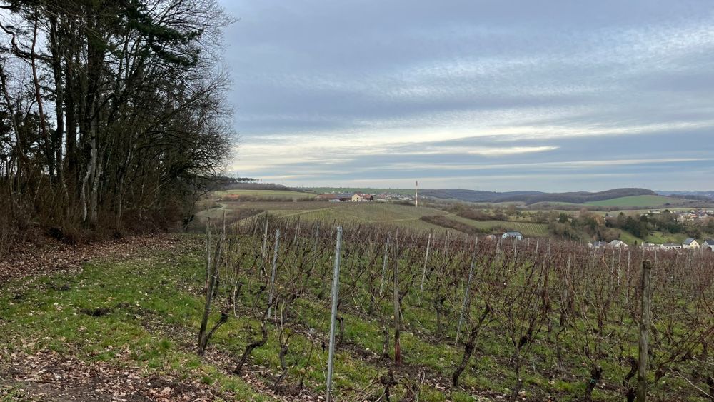
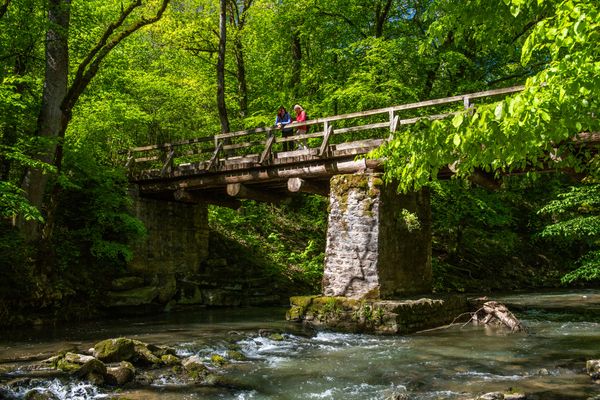
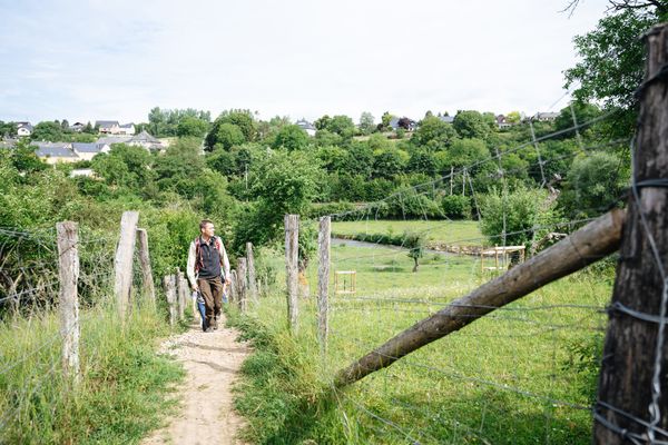
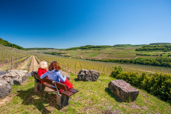
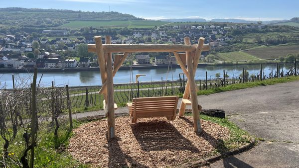
The local hiking trail starts at the bus station and leads to the “Gruussfooscht” viewpoint, then continues through the forest towards “Haard”. After crossing the A1 motorway, it passes through vineyards to Rue Boland and returns to the centre.
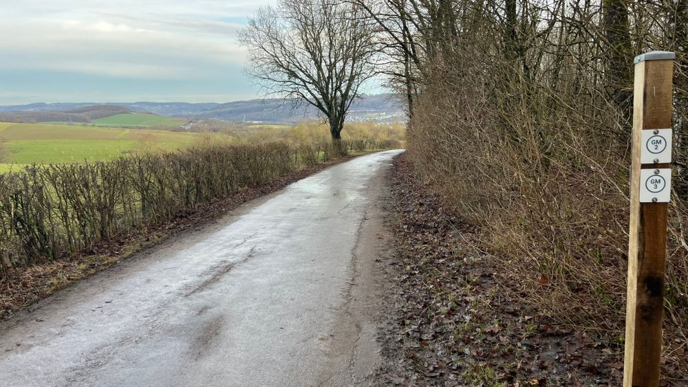
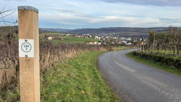
Signposting

Directions
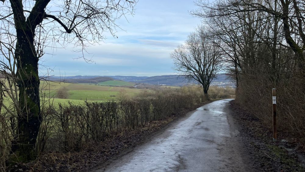
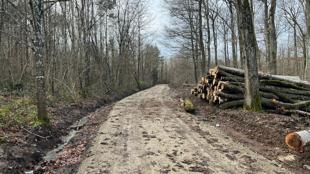
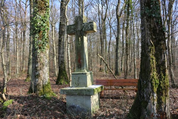
From the bus station, via Rue de Wecker and Grueweréck, the route reaches “Gruussfooscht” (a viewpoint over the Moselle valley). Through the forest, partly along a fitness trail, the route continues towards the “Haard” forest area. After crossing the road towards Wecker and passing under the motorway bridge, the route then continues to the right into the forest. At the edge of the forest, after crossing the A1 motorway, the path leads through vineyards into the residential area of Rue Boland, from where it returns to the town centre.
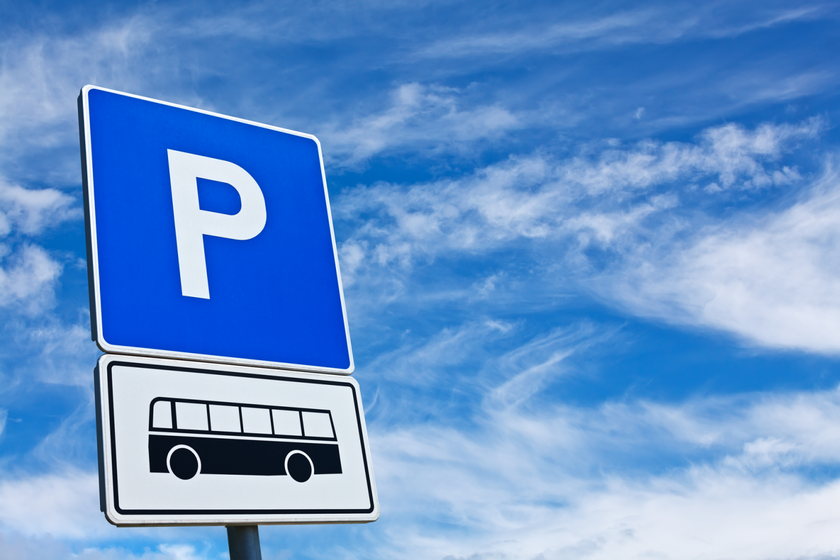
Journey
Bus stop: Grevenmacher, Gare routière
Parking:
Parking "Place du Marché aux Bestiaux"


 This website uses technology and content from the Outdooractive Platform.