Description
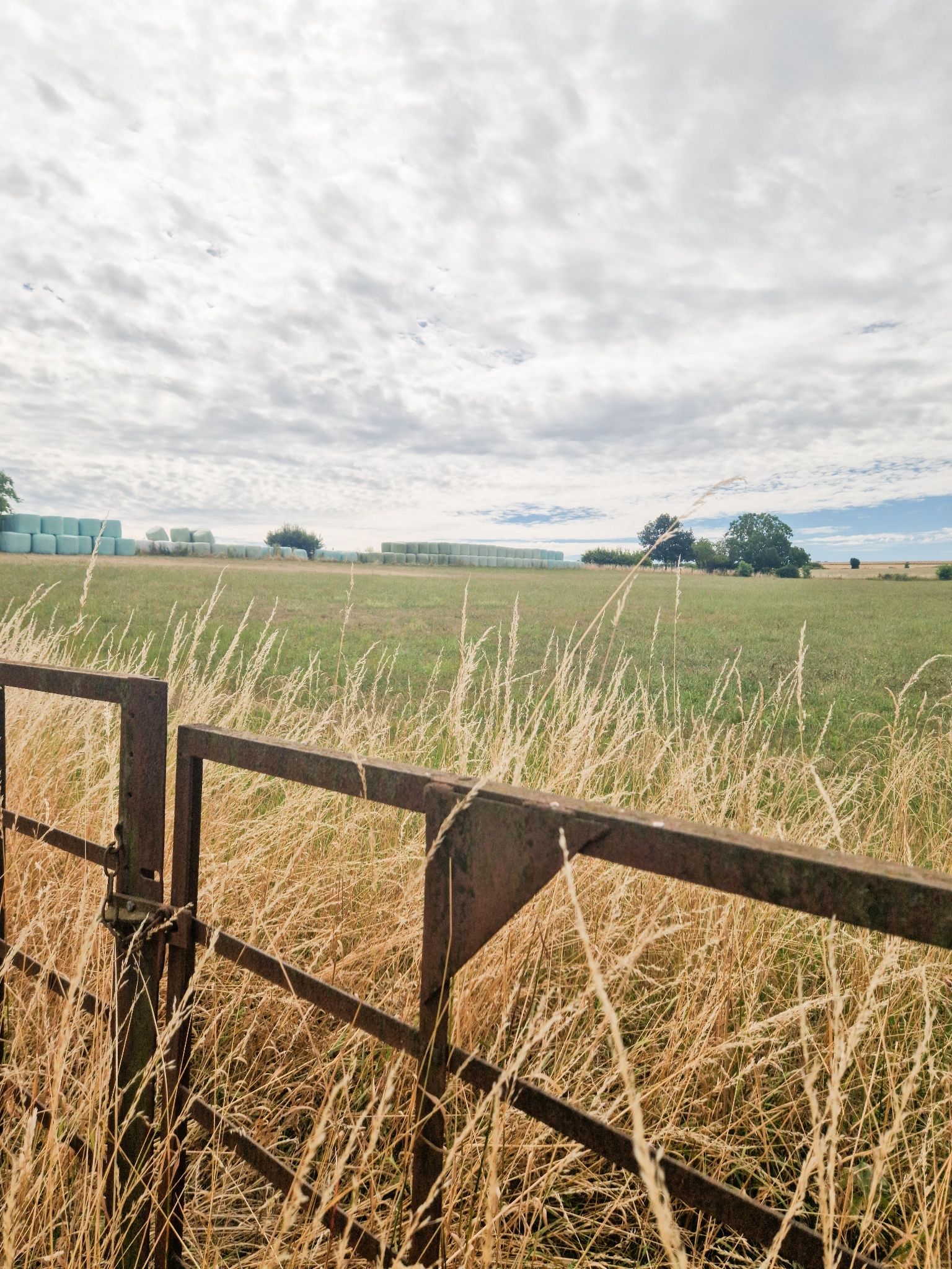
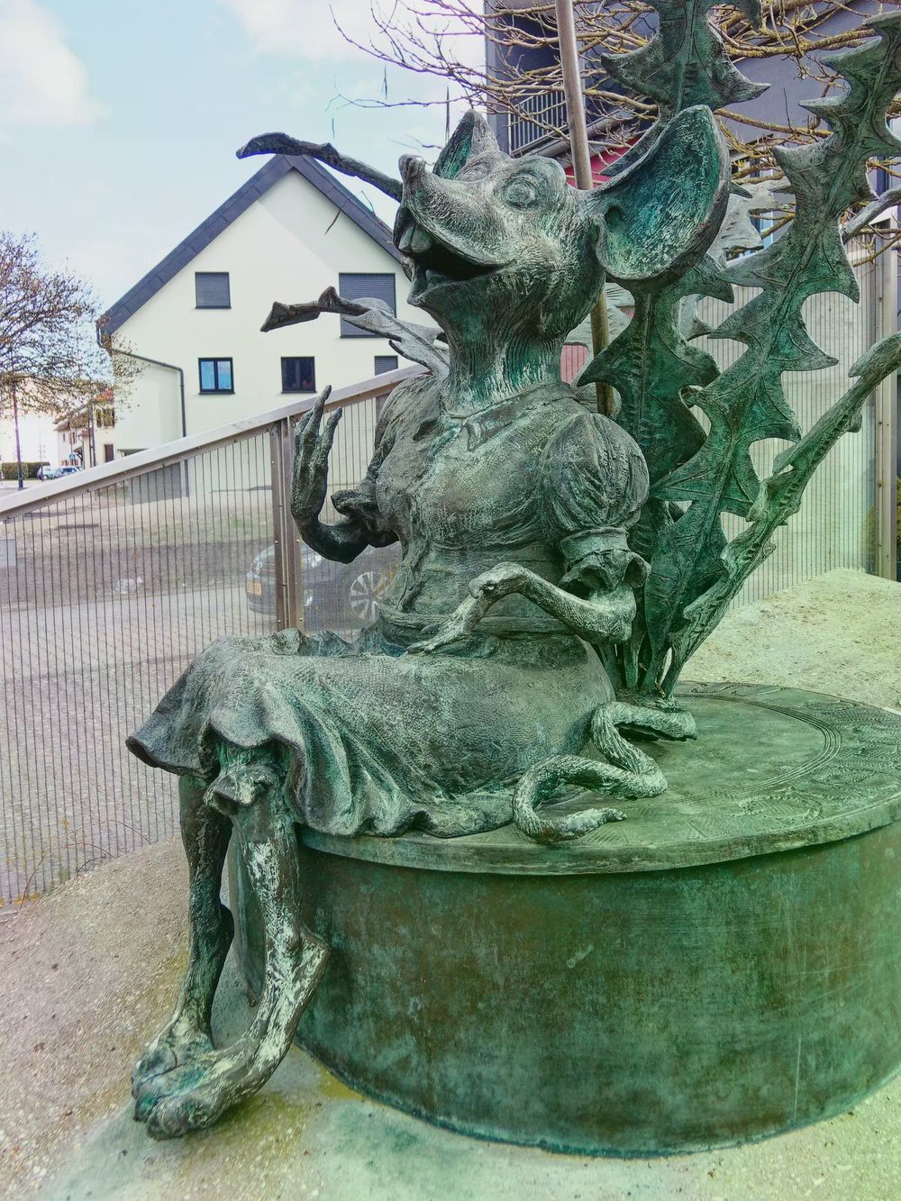
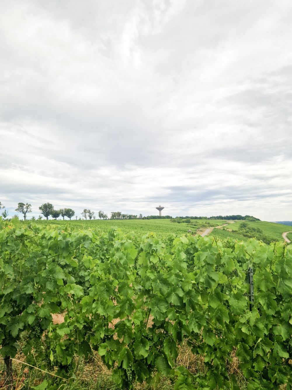
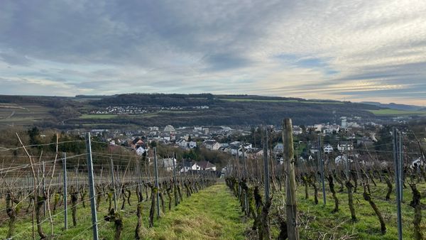
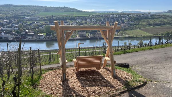
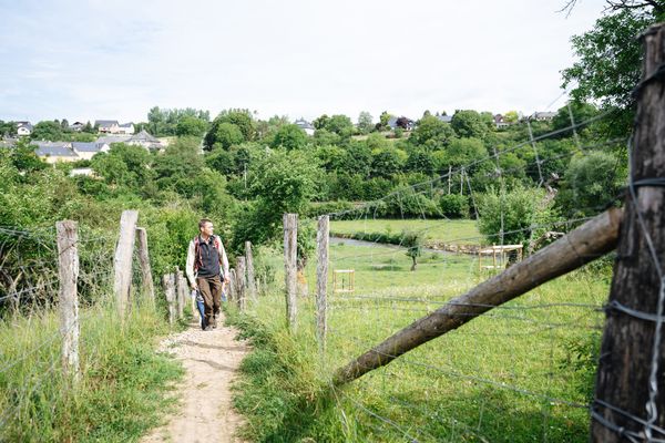
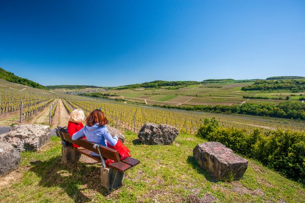
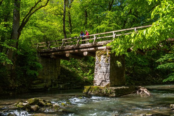
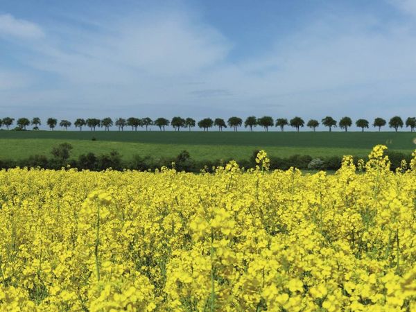
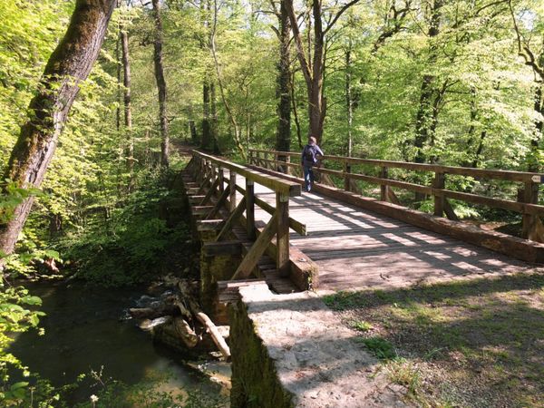
This hike gives an impression of the impressive size of the Burmeringer fields, combined with wonderful distant views. Passing the Maus-Ketti Statue, whose intellectual creator, Auguste Liesch, contributed significantly to the fame of the village, the path leads from the village towards Wintringen, where after crossing the Bauerebréck (farmers' bridge), you can admire the extensive and agriculturally valuable fields. The adjoining pear tree avenue, one of the last in Luxembourg, leads to vineyards where there is an impressive view of the wine-growing village of Remerschen and the lower Moselle valley. Towards Remerschener Straße you reach the other field area, around Hëschel and Tritlingen, which indicate disappeared settlements. Over the Queeschewee trail you head towards the French border, where the view extends over the graceful Lorraine plateau and, in good visibility, you can see half a dozen French villages, identifiable by their red roof tiles.
Signposting

Journey
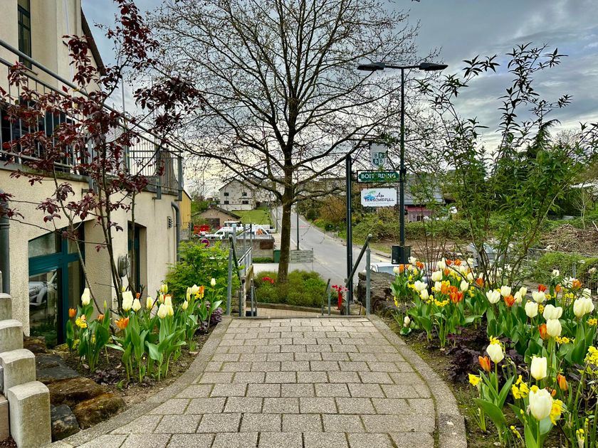
Bus stop: Burmerange, Bei der Kiirch
Parking:
Parking at the Maus Ketti Cultural Center


 This website uses technology and content from the Outdooractive Platform.